Job Fields and Important Details
| Fields | Description |
|---|---|
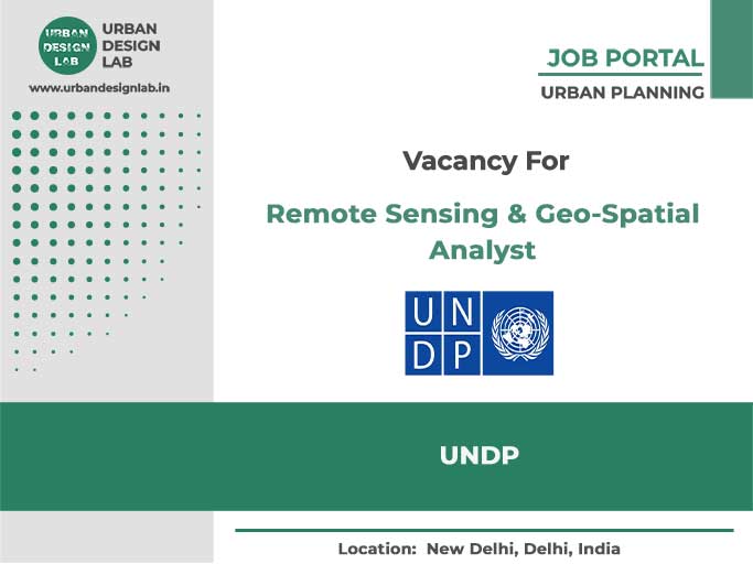
| Position | Remote Sensing & Geo-Spatial Analyst |
| Organisation | UNDP |
| Country | India |
| City | Delhi |
| No of Vacancies | N/A |
| Project Name | N/A |
| Skills and Qualifications | Bachelor’s Degree OR Master’ of Science in Agriculture/ M. Tech in Remote Sensing & GIS or equivalent field. |
| Experience | • Minimum 4 years’ (Bachelor’ Degree) or 2 years’ (Master’ Degree) of experience in relevant role in Remote Sensing data analysis/ Crop Yield Modelling. • Additional years of experience in Remote Sensing data analysis/ Crop Yield Modelling. • Experience of working with Central and/or State Governments/ international agencies/on similar assignments will be preferred. • Working experience in Esri’s ArcGIS and associated extensions, and ERDAS IMAGINE; knowledge of other GIS and remote sensing software such as ENVI, QGIS, SNAP, GRASS etc., will be an added advantage. • In-depth knowledge of Remote Sensing and GIS application in Agriculture/Forestry/Agro-Forestry and related field. • Experience crop loss modelling or agricultural statistics will be an advantage. • Proficiency in Microsoft Office Suite. • Experience in project Management practices and ability to formulate and manage budgets. • Demonstrates substantive and technical knowledge to meet responsibilities and requirements of the post with excellence. • Possesses the capacity for strategic planning, result – based management and reporting. |
| Salary | INR (Annual)19,59,960 / 1,66,330 INR (Monthly) |
Organisation Details
UNDP has been working in India since1951 in almost all areas of human development. Together with the Government of India and development partners, we have worked towards eradicating poverty, reducing inequalities, strengthening local governance, enhancing community resilience, protecting the environment, supporting policy initiatives and institutional reforms, and accelerating sustainable development for all.
With projects and programmes in every state and union territory in India, UNDP works with national and subnational government, and diverse development actors to deliver people-centric results, particularly for the most vulnerable and marginalized communities. As the integrator for collective action on the Sustainable Development Goals (SDGs) within the UN system, we are committed to supporting the SDGs for the people and the planet.
Job Description
The Remote Sensing & Geo-Spatial Specialist will be based at New Delhi and shall work under the guidance and supervision of the Remote Sensing Tech-Lead and work closely with other consultants. Remote Sensing& Geo-Spatial Specialist will be supporting for Remote Sensing analysis, including method development and technical analysis in producing land use/cover maps, crop yield maps and the post- processing, such as spatial analysis and modelling.
Advertisement
How to Apply
Applications are made through the link below.
- Last date to Apply: 14/05/2023
Related Jobs


Research Assistant Jobs in Urban Analytics & Construction AI at HKU
November 30, 2025
City of Grants Pass Hiring GIS Supervisor
November 30, 2025

Mobility & Urban Analyst Job at ICLEI Delhi
November 30, 2025

Airport Infrastructure Internship at IATA Geneva 2025
November 30, 2025

UNFPA Regional Office Hiring Policy Advisor in South Africa
November 30, 2025

UN-Habitat National Urban Policy Assistant Position in Azerbaijan
November 30, 2025

UN Internship in Urban Planning & Housing Policy
November 30, 2025
Research Analyst Job Opening at Asian Institute of Transport Development
November 30, 2025

Senior Research Assistant Vacancy at AKTU Lucknow
November 30, 2025
AECOM Hiring Architect in Gurugram
November 14, 2025
UDL GIS
Masterclass
GIS Made Easy – Learn to Map, Analyse, and Transform Urban Futures
Session Dates
23rd-27th February 2026

Urban Design Lab
Be the part of our Network
Stay updated on workshops, design tools, and calls for collaboration
Curating the best graduate thesis project globally!

Free E-Book
From thesis to Portfolio
A Guide to Convert Academic Work into a Professional Portfolio”
Recent Posts
- Article Posted:
- Article Posted:
- Article Posted:
- Article Posted:
- Article Posted:
- Article Posted:
- Article Posted:
- Article Posted:
- Article Posted:
- Article Posted:
- Article Posted:
- Article Posted:
Sign up for our Newsletter
Please go through our Newsletter Policy


