10 Reasons to Learn GIS Mapping Today

GIS mapping is a powerful tool that can help us better understand our environment. It enables us to visualize, analyze, and interpret geographic data in order to gain insights into the world around us. With GIS mapping, we can identify patterns and trends in population, land use, natural resources, and other phenomena. This helps us make informed decisions about how to best utilize our resources and manage our environment. GIS mapping is also essential for disaster management as it can provide real-time information about the location of people in danger or affected by a crisis. By leveraging GIS mapping technology, we are able to make more informed decisions that have the potential to save lives and protect property. Here are 10 reasons why GIS mapping should be part of your learning journey today.
1. Efficient data collection and management:
GIS allows for the efficient collection, storage, and analysis of geographical data, making it a powerful tool for decision-making and problem-solving. GIS can be used to collect data from various sources, such as satellite imagery, aerial photography, and field surveys, and store it in a centralized database. This data can then be easily accessed and analyzed to provide valuable insights and inform decision-making.
2. Improved data visualization:
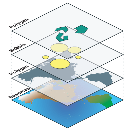
GIS provides a visual representation of data, making it easier to understand and communicate complex information. GIS can be used to create detailed maps and 3D models, which provide a comprehensive understanding of the landscape and environment. These maps and models can be used to highlight important features and patterns, such as population density, land use, and natural resources. This improved visualization of data can help to identify trends and patterns that may not be immediately obvious in raw data.
3. Asset management:
GIS can be used to track and manage assets, such as infrastructure, utilities, and natural resources. This can include tracking the location and condition of assets, identifying areas in need of maintenance or repair, and predicting future maintenance needs. GIS can also be used to plan for future development, such as identifying potential locations for new infrastructure or utilities.
4. Predictive modeling:
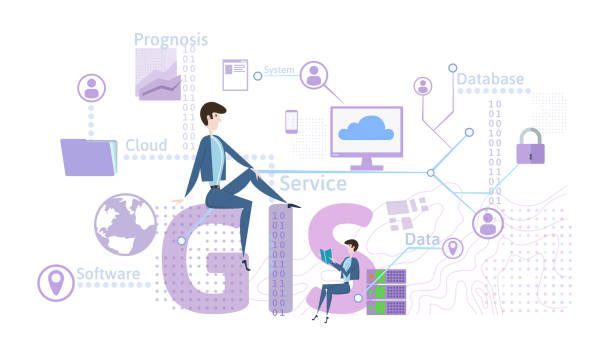
GIS can be used to analyze and predict the impact of various factors, such as climate change, population growth, and land use changes. This can include predicting the impact of sea level rise on coastal areas, identifying areas at risk of flooding or drought, and modeling the spread of disease. This predictive modeling can be used to inform decision-making and planning for future development.
5. Transportation planning:
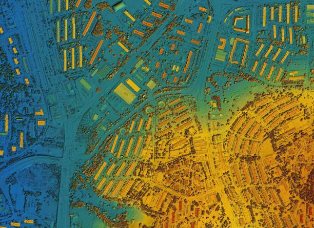
Transportation planning: and reduce congestion. This can include identifying the most efficient routes for vehicles, analyzing traffic patterns, and predicting future traffic needs. GIS can also be used to plan for future development, such as identifying potential locations for new transportation infrastructure.
6. Emergency management:
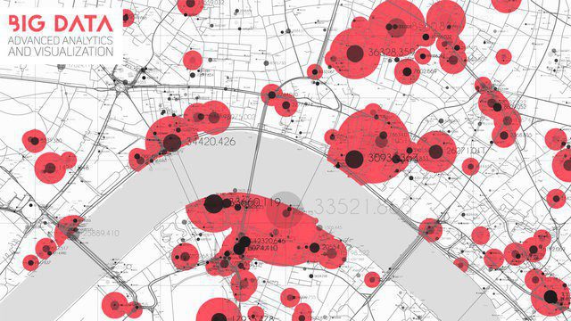
GIS plays an important role in emergency management and disaster response, helping to plan and coordinate efforts. GIS can be used to create detailed maps and models of the affected area, identify evacuation routes, and track the movement of emergency responders. This information can be used to inform decision-making and improve response time in emergency situations.
7. Advanced spatial analysis:
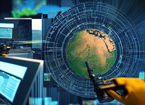
GIS can be used to analyze and model spatial relationships, such as patterns, trends, and interactions between different elements. This advanced spatial analysis can be used to identify patterns and trends that may not be immediately obvious in raw data. For example, GIS can be used to analyze population density and identify areas with high or low population growth. This information can be used to inform decision-making and planning for future development.

8. Integration with other technologies:
GIS can be integrated with other technologies, such as remote sensing and GPS, to provide a more comprehensive view of the landscape and environment. This can include integrating satellite imagery and aerial photography with GIS data to create detailed maps and models. This integration of technologies can provide valuable information for decision-making and planning.
9. Data sharing and collaboration:
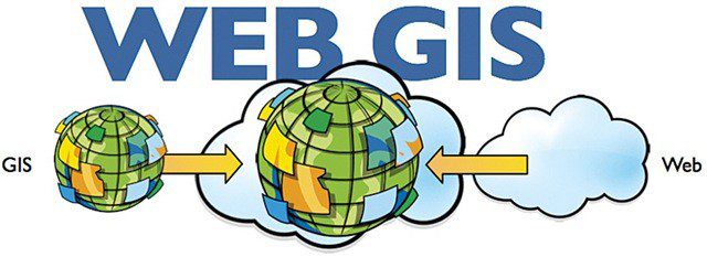
GIS can be used to share and collaborate data with other organizations and stakeholders, improving communication and coordination. This can include sharing data with government agencies, non-profit organizations, and private businesses. This sharing of data can help to improve decision-making and planning by providing a more comprehensive view of the landscape and environment.
10. Career opportunities:
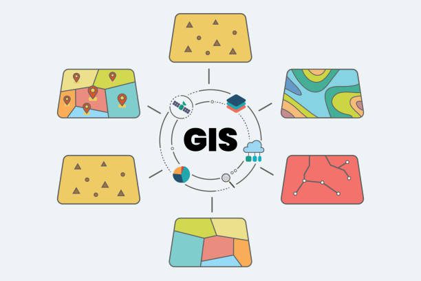
Career opportunities: GIS is a skill in high demand, with many job opportunities available in a variety of industries, including government, private sector, and non-profits. GIS professionals
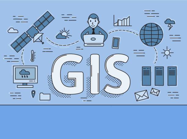
Few other reasons to learn GIS Mapping:
1. GIS mapping is a versatile tool that can be applied to a wide range of industries and sectors, such as urban planning, transportation, natural resources, and emergency management.
2. It provides a powerful way to analyze and visualize large amounts of data, making it a valuable tool for decision-making and problem-solving.
3. It can be used to create detailed maps and 3D models, providing a comprehensive understanding of the landscape and environment.
4. GIS mapping plays an important role in emergency management and disaster response, helping to plan and coordinate efforts.
5. It can be used to track and manage assets, such as infrastructure, utilities, and natural resources.
6. It is a valuable tool for marketing and real estate, providing insight into potential customers and property values.
7. It is used in transportation planning, helping to optimize routes and reduce congestion.
8. It can be used to study the impact of climate change and natural disasters on the environment and human communities.
9. It is a skill in high demand, with many job opportunities available in a variety of industries, including government, private sector, and non-profits.
10. It is a constantly evolving field, with new technologies and techniques being developed all the time, providing opportunities for ongoing learning and professional development.
Future trends of GIS Mapping:
GIS mapping is a technology that has seen tremendous growth over the past few decades. It has become an integral part of many everyday tasks such as navigation, urban planning, logistics, and more. With the advancement of technology and the ever-evolving needs of the public, GIS mapping will continue to be an important tool for the future.
One of the most significant future trends in GIS mapping is the integration of artificial intelligence (AI). AI-enabled GIS mapping will allow for more sophisticated analysis of geographical data and provide more accurate results. AI-enabled GIS mapping can be used to identify patterns in human behavior and aid in decision making. It can also be used to identify potential new markets, develop more effective marketing strategies, and improve the quality of customer service.
The use of drones and other autonomous vehicles will also be an important part of GIS mapping in the near future. Drones can be used to collect data and create 3D maps of the environment. This data can then be used for a variety of tasks such as land surveying, infrastructure monitoring, and disaster management. Drones can also be used to monitor environmental changes, such as changes in water levels, as well as to detect illegal activities.
Data visualization is also an important component of GIS mapping. Data visualization tools allow users to quickly identify patterns and trends in a visual format. This can be used to make decisions quickly and accurately. Data visualization can be used to identify potential new markets, develop more effective marketing strategies, and improve the quality of customer service. It can also be used to monitor environmental changes, such as changes in water levels, as well as to detect illegal activities.
Cloud-based GIS mapping is also becoming increasingly important. With cloud-based GIS mapping, organizations can store and share data more easily, allowing for a more efficient use of resources. It also allows for real-time data analysis and updates, as well as access to global data.
Finally, the use of augmented reality (AR) will be increasingly important for GIS mapping in the future. AR can be used to overlay digital data onto a real-world environment, allowing users to interact with their environment in a more meaningful way. For example, AR can be used to show a user the location of a business, or to help them navigate a city.
These are just a few of the trends that will shape the future of GIS mapping. As technology continues to advance, GIS mapping will become an even more.
Conclusion:
In conclusion, GIS is a powerful tool that can be applied to a wide range of industries and sectors. The benefits of GIS include efficient data collection and management, improved data visualization, advanced spatial analysis, asset management, predictive modeling, transportation planning, emergency management, integration with other technologies, data sharing and collaboration, and career opportunities.

Urban Design Lab
About the Author
This is the admin account of Urban Design Lab. This account publishes articles written by team members, contributions from guest writers, and other occasional submissions. Please feel free to contact us if you have any questions or comments.
Related articles


Micro-Mobility and Modular Design in Urban Living


Rethinking Urban Planning Careers in India

5-Days UDL GIS
Masterclass
GIS Made Easy – Learn to Map, Analyse, and Transform Urban Futures
Session Dates
14th-18th July 2025

Free E-Book
From thesis to Portfolio
A Guide to Convert Academic Work into a Professional Portfolio”
Recent Posts
- Article Posted:
- Article Posted:
- Article Posted:
- Article Posted:
- Article Posted:
- Article Posted:
- Article Posted:
- Article Posted:
- Article Posted:
- Article Posted:
Sign up for our Newsletter
“Let’s explore the new avenues of Urban environment together “


