A brief history of urban maps
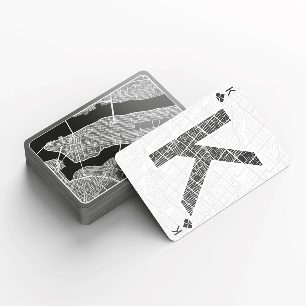
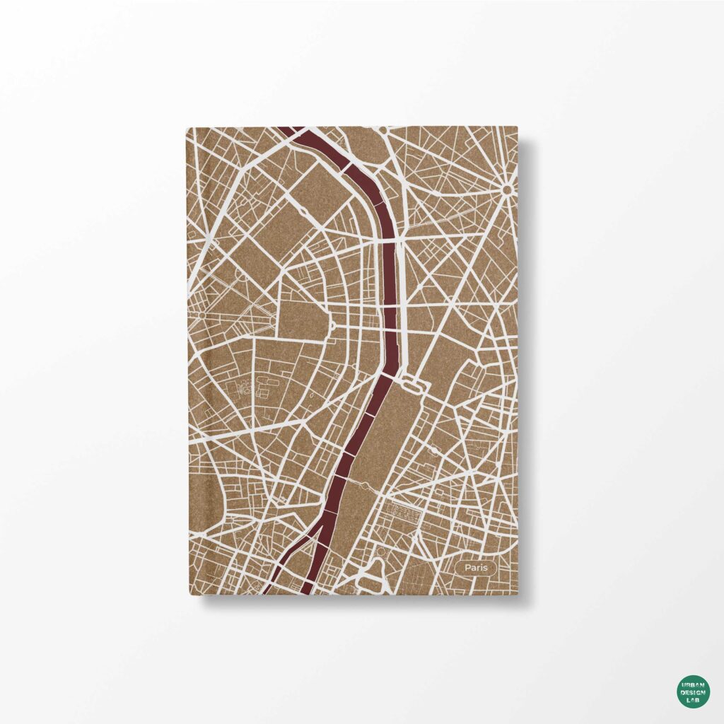
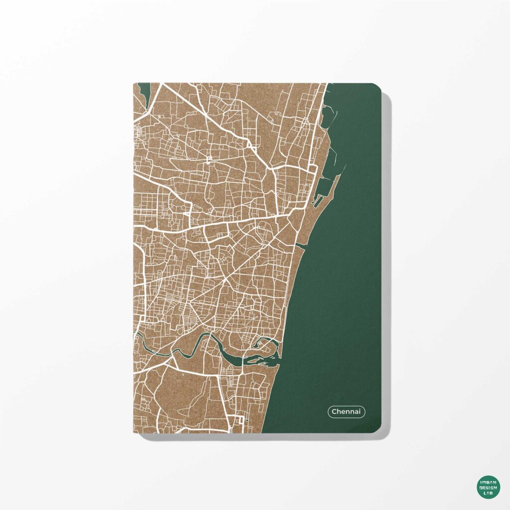
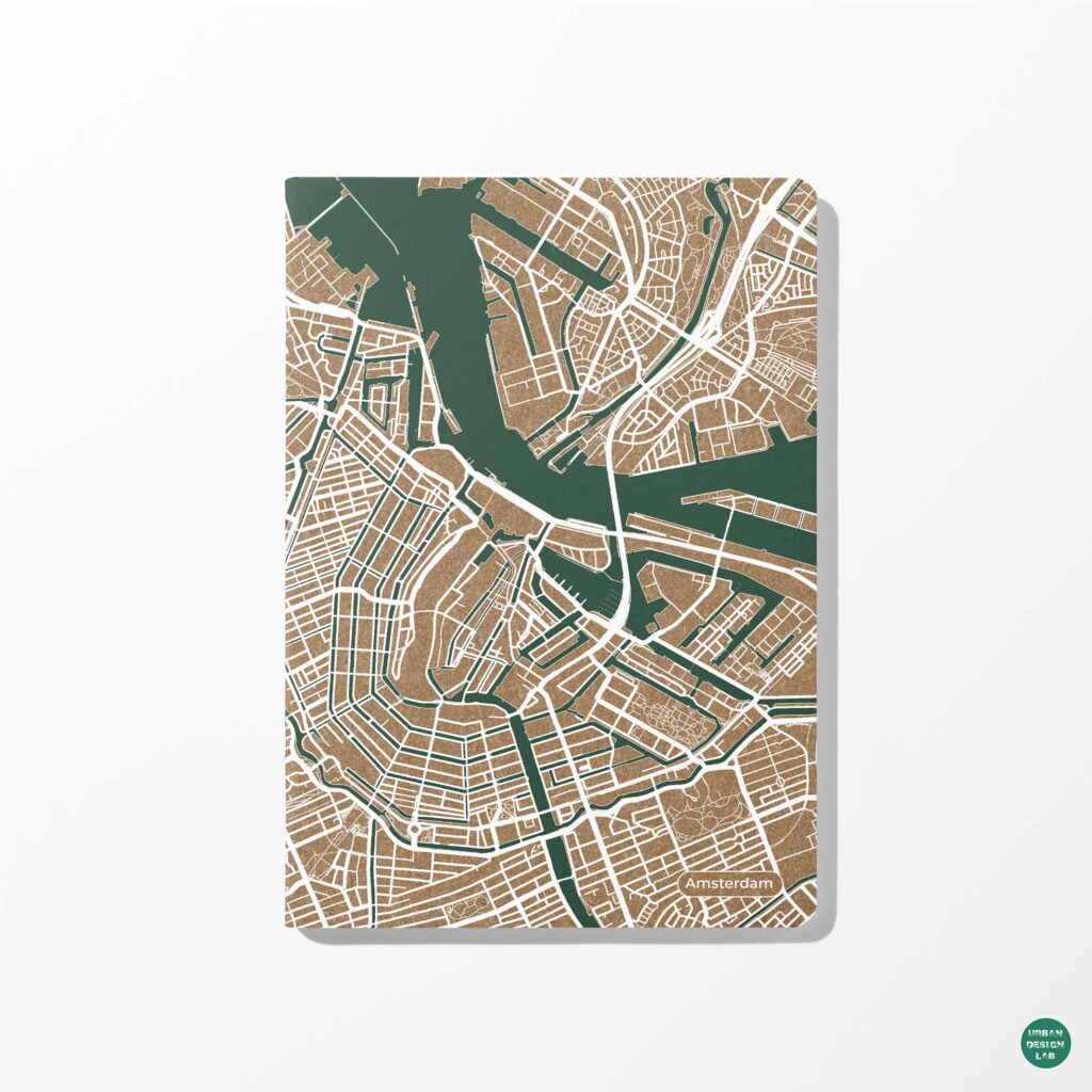
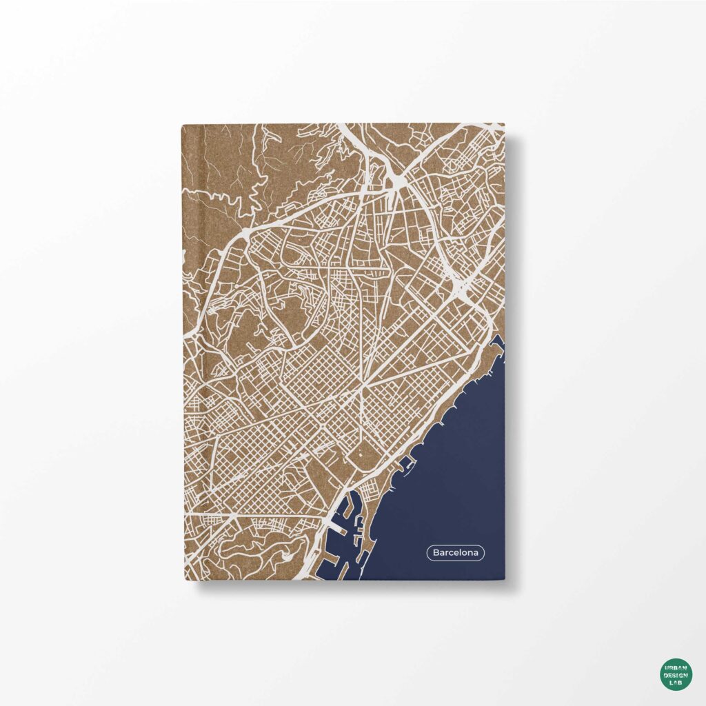
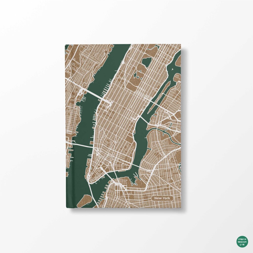
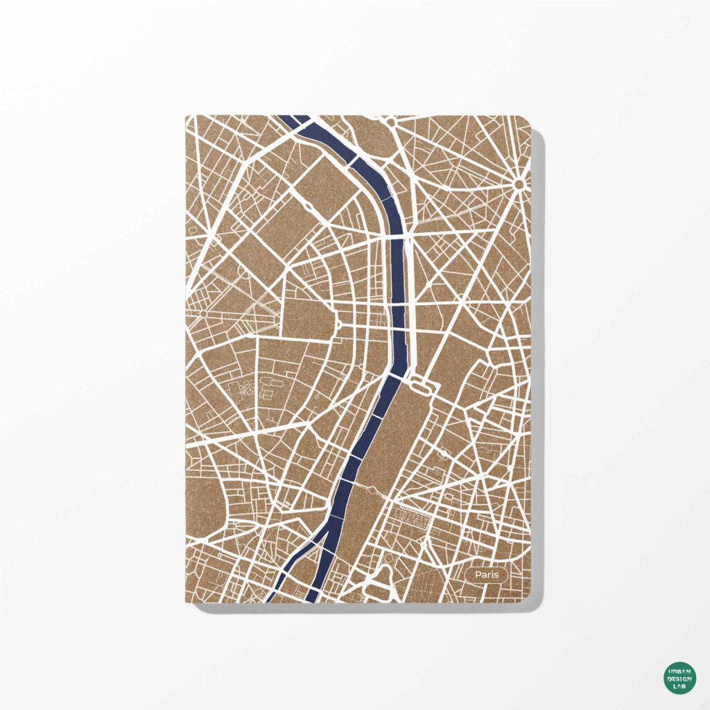
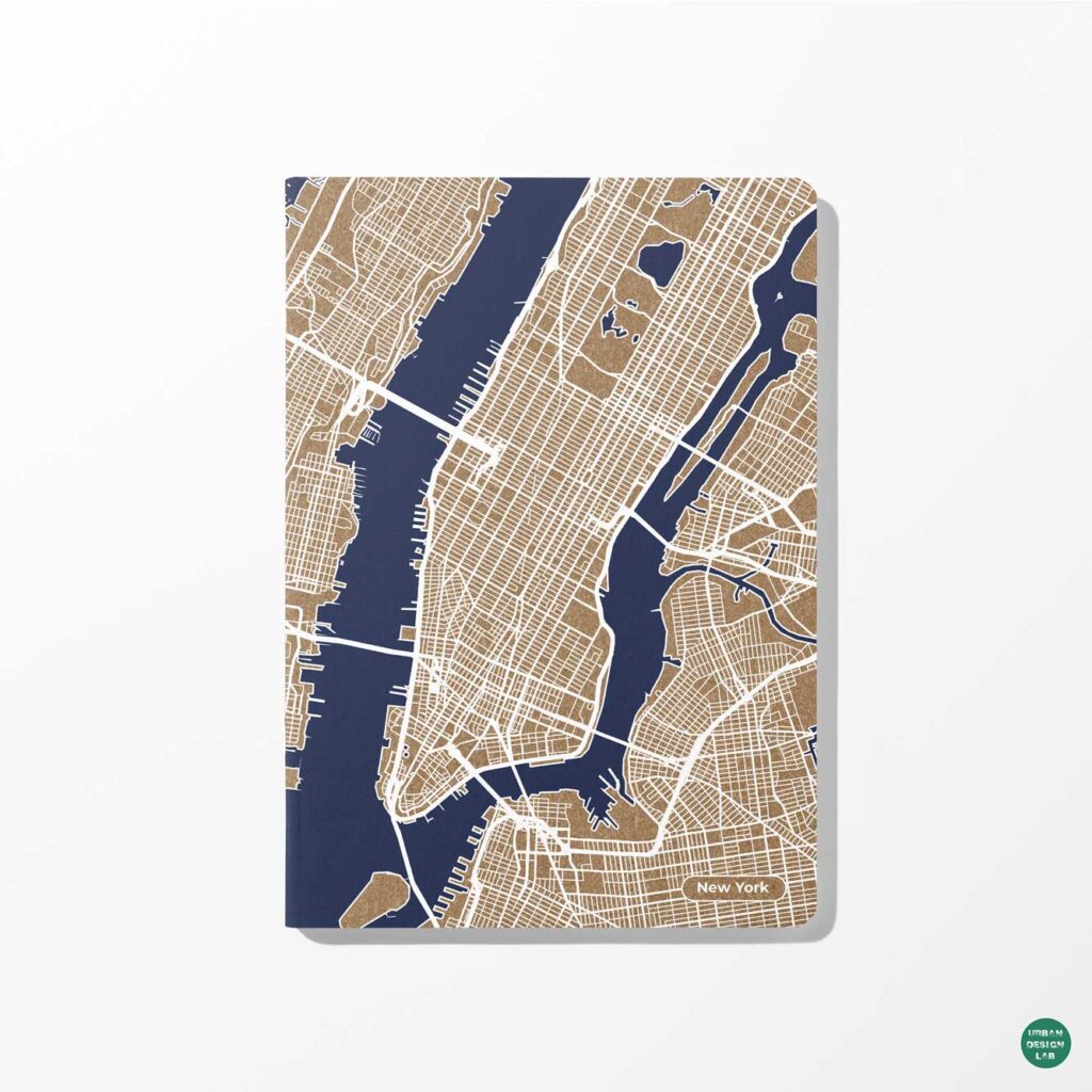
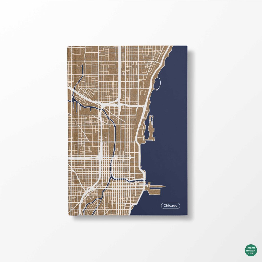
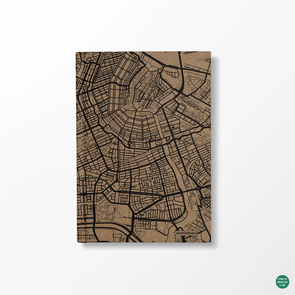
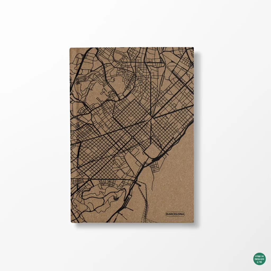
Urban maps, also known as city maps, are representations of the layout and structure of urban areas. They have a long history, dating back to ancient civilizations.
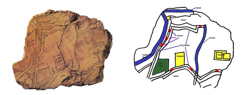
One of the earliest known urban maps is the map of the city of Nippur, which was created in ancient Mesopotamia around the 4th century BCE. This map, which was drawn on clay tablets, shows the city’s layout, including its streets, buildings, and religious structures.
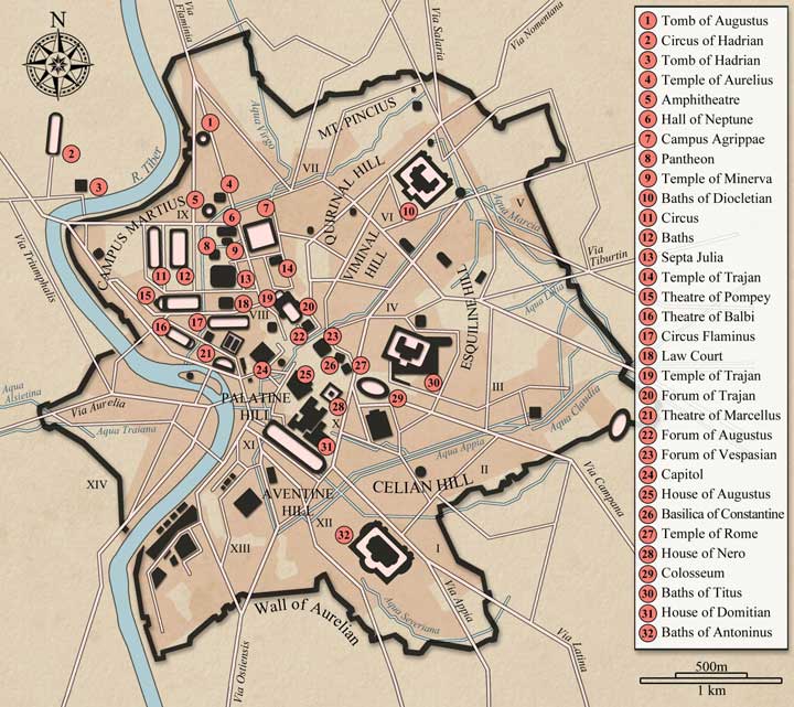
During the Roman Empire, urban maps were often created for administrative and military purposes. The Roman surveyor and architect Vitruvius, for example, created a map of the city of Rome in the 1st century BCE, which showed the city’s layout and major public buildings.
In the Middle Ages, European cities began to grow and expand rapidly, and urban maps were created to help navigate these complex and often crowded spaces. One of the most famous examples of a medieval urban map is the “T-O” map, which was a common way of representing the world in medieval Europe. These maps depicted the known world as a circle, with the three known continents (Europe, Asia, and Africa) divided by the “T” shaped Mediterranean Sea.
During the Renaissance, urban maps began to be created for more artistic and decorative purposes. The famous Italian artist and cartographer Giambattista Nolli created a map of Rome in 1748 that is considered one of the most accurate and beautiful urban maps of the time.
In the 19th century, urban maps began to be created using new technologies, such as lithography and photogravure. This allowed for more accurate and detailed maps to be produced, and also made it possible to mass-produce them. The Sanborn Map Company, for example, began producing urban maps of American cities in the late 1800s, which were used for fire insurance purposes.
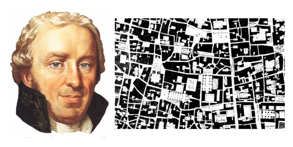
In the 20th century, urban maps began to be created using new technologies, such as aerial photography and GIS (Geographic Information Systems). These technologies made it possible to create highly accurate and detailed maps of urban areas, and also made it possible to easily update and maintain them.
Today, urban maps continue to be an important tool for understanding and navigating urban areas. They are used for a wide variety of purposes, including urban planning, transportation, and emergency management. With the advent of digital technology, we have also seen the emergence of online maps and map-based applications, such as Google Maps and OpenStreetMap, which have made it easier than ever for people to access and use urban maps.
Urban Mapping Techniques
Urban mapping techniques have evolved significantly over the centuries, from early hand-drawn maps to modern digital mapping technologies.
One of the earliest forms of urban mapping was the “ground plan,” which was a simple representation of a city’s layout and major buildings. These ground plans were often created by military engineers and were used for defensive planning and troop deployment.
In the 18th and 19th centuries, urban mapping began to take on a more scientific approach. Surveys were conducted using precise instruments such as theodolites and triangulation was used to create accurate maps. These maps were used for urban planning and infrastructure development.
The introduction of aerial photography in the early 20th century revolutionized urban mapping. Aerial photographs were used to create detailed maps of cities, allowing for the identification of individual buildings and infrastructure. This technology was especially useful for cities that had rapidly grown and developed, as it allowed for the creation of accurate maps in a relatively short amount of time.
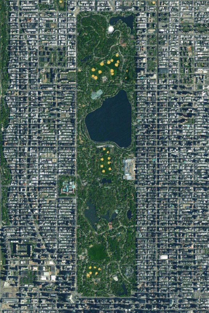
Aerial and satellite imagery
Aerial and satellite imagery are two of the most widely used techniques for urban mapping. Aerial imagery is typically captured by aircraft or drones, while satellite imagery is obtained from orbiting satellites. Both techniques provide high-resolution images of cities and urban areas, which can be used to create detailed maps and 3D models. Aerial imagery is particularly useful for mapping large areas, as it can cover a wide area in a single image. Satellite imagery, on the other hand, can be used to map remote or hard-to-reach areas.
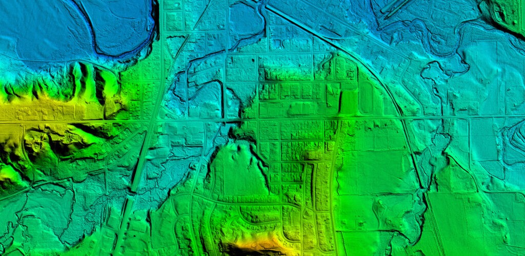
Another modern urban mapping technique is lidar, which stands for Light Detection and Ranging. Lidar is a remote sensing method that uses lasers to measure the distance to a target. It can be used to create detailed 3D models of cities and urban areas, as well as to measure the height of buildings, bridges, and other structures. Lidar is particularly useful for mapping areas with a lot of tall buildings, such as downtowns and high-density urban areas.
Urban Mapping softwares
Urban mapping software refers to the various digital tools and platforms used to create, manage, and analyze geographic data and create detailed maps of cities and urban areas. These software have become crucial for urban planning, emergency management, transportation, and a wide range of other purposes. Some of the widely used urban mapping software are ArcGIS, QGIS, and OpenStreetMap, as well as newer, more specialized software such as CityEngine, and OpenMapTiles.
With the constant advancements in technology, urban mapping software will continue to evolve and improve, allowing for more accurate and useful maps of cities and urban areas in the future.
In conclusion, urban maps have a long and rich history, dating back to ancient civilizations. They have been used for a wide variety of purposes, including navigation, administration, and art, and have evolved with changing technologies. Today, urban maps continue to be an important tool for understanding and navigating urban areas, and with the advent of digital technology, they are more accessible than ever before.

Urban Design Lab
About the Author
This is the admin account of Urban Design Lab. This account publishes articles written by team members, contributions from guest writers, and other occasional submissions. Please feel free to contact us if you have any questions or comments.
Related articles


Architecture Professional Degree Delisting: Explained
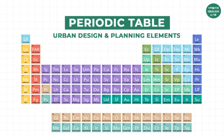
Periodic Table for Urban Design and Planning Elements
History of Urban Planning in India
Kim Dovey: Leading Theories on Informal Cities and Urban Assemblage
UDL GIS
Masterclass
GIS Made Easy – Learn to Map, Analyse, and Transform Urban Futures
Session Dates
23rd-27th February 2026

Urban Design Lab
Be the part of our Network
Stay updated on workshops, design tools, and calls for collaboration
Curating the best graduate thesis project globally!

Free E-Book
From thesis to Portfolio
A Guide to Convert Academic Work into a Professional Portfolio”
Recent Posts
- Article Posted:
- Article Posted:
- Article Posted:
- Article Posted:
- Article Posted:
- Article Posted:
- Article Posted:
- Article Posted:
- Article Posted:
- Article Posted:
- Article Posted:
Sign up for our Newsletter
“Let’s explore the new avenues of Urban environment together “


