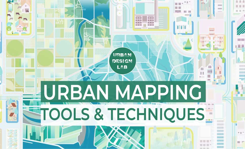
The process of developing, gathering, and evaluating spatial data and information in urban environments is referred to as urban mapping. Making educated judgements regarding urban planning and development requires the use of this information to comprehend and manage the complexity of urban environments. Urban mapping can be done using a wide range of instruments and methods, such as geographic information systems (GIS), remote sensing, and field surveys.
For urban mapping, geographic information systems (GIS) are a crucial tool. Spatial data may be created, managed, and analysed thanks to GIS technology. In addition to demographic and socioeconomic information, this might also include information on infrastructure, transit systems, and land use. GIS can be used to evaluate patterns and trends in the data as well as to build precise maps of metropolitan areas.
Making comprehensive maps of urban areas is one of the main uses of GIS in city development. To build precise and thorough representations of metropolitan regions, GIS can be used to aggregate data from a range of sources, such as satellite images, aerial photography, and field surveys. These maps can be used to pinpoint regions of opportunity and need as well as to gauge how well current urban policies and plans are working. Another important use of GIS in city development is in the analysis of patterns and trends in urban areas. GIS can be used to analyze data on land use, transportation networks, and infrastructure, as well as demographic and socioeconomic data. This analysis can help to identify patterns and trends in urban areas and to inform urban planning and development decisions.
By giving data on urban dynamics like population density, traffic flow, and energy usage, GIS can also help the creation of smart cities. The livability and sustainability of the city can be increased by using this information to optimise city services like transportation and public utilities.
ILLUSTRATION COURTESY OF U.S. GOVERNMENT ACCOUNTABILITY OFFICE
Remote sensing
Remote sensing is a valuable tool for city development, as it allows for the collection of data and information about the Earth’s surface from a distance. This data can be used to inform decisions about urban planning and development.
The technology of modern remote sensing began with the invention of the camera. Earlier photographs were “still photographs”, but the idea of taking Earth’s images for the purpose of topographic mapping emerged during the 1840s. Cameras were fixed in balloons for the sake of taking images. During WWI, cameras were mounted on airplanes to get an aerial view of lands which proved to bring revolution in the military. It was only during the space age, Satellite remote sensing evolved. They were used for the purpose of imaging Earth surfaces as well as sensor other spacecraft. The term “remote sensing” was first used in the United States in the 1950s by Ms. Evelyn Pruitt of the U.S. Office of Naval Research.
The construction of thorough maps of urban areas is one of the main applications of remote sensing in city development. Data on land usage, vegetation, and water resources can be gathered using remote sensing technologies, such as satellites or aerial photography. With the use of this information, detailed maps of urban regions can be produced, which can then be used to assess the success of current urban policies and plans as well as to pinpoint areas of need and potential.
Monitoring changes over time is a significant application of remote sensing in urban planning. To identify patterns and trends, remote sensing can be used to collect data on urban areas at regular intervals. Urban planning and development decisions can be informed by this information, which can be used to identify places that may need redevelopment or locations that may be vulnerable to flooding or other natural disasters.
By giving data on urban dynamics like population density, transportation flow, and energy usage, remote sensing can also help the development of smart cities. The livability and sustainability of the city can be increased by using this information to optimise city services like transportation and public utilities.
Remote sensing, Soure: BYJU
Soure: geolearn.in
Field surveys
Field surveys are an important tool for urban mapping, as they involve physically collecting data and information in the field, such as by conducting interviews, taking measurements, and gathering samples. Field surveys can provide valuable information to urban planners and decision-makers, which can be used to inform decisions about urban planning and development.
The gathering of information on land use, infrastructure, and the built environment is one of the primary functions of field surveys in urban mapping. Field surveys can be used to obtain data on metropolitan areas’ physical characteristics, such as the types of buildings present, how well-maintained they are, and what infrastructure supports them. The effectiveness of current urban policies and plans may be assessed using this information, which can also be used to pinpoint areas of need and potential.
The gathering of information about the social and economic circumstances in urban areas is another significant application of field surveys in urban mapping. Field surveys can be used to acquire data on things like employment rates, income levels, and population demographics. Decisions on urban planning and development can be made using this information to assess patterns and trends in metropolitan areas.
3D modeling and visualization
3D modeling and visualization are powerful tools for urban mapping, as they allow for the creation of realistic and accurate representations of urban areas, which can be used to inform decisions about urban planning and development.
The construction of comprehensive digital models of urban areas is one of the main applications of 3D modelling and visualisation in urban mapping. These models can be used to construct precise and realistic representations of the built environment, including buildings, infrastructure, and natural elements. They can be created utilising data from a range of sources, such as aerial photography, LiDAR, and ground-based surveys. The effectiveness of current urban policies and plans may be assessed using this information, which can also be used to pinpoint areas of need and potential.
The production of virtual reality simulations of urban environments is another significant application of 3D modelling and visualisation in urban mapping. These simulations can be used to investigate various choices for urban design and assess their potential effects on the surrounding area and the lives of the people who live there. Making decisions about urban planning and development, as well as engaging the public and educating them, can all benefit from this.
Social Media Analysis
Urban areas generate a huge amount of social media data, which can be analyzed to gain insights into urban dynamics. This can include information on where people are going, what they are doing, and how they are using urban spaces. This can be useful for understanding patterns of land use and activity in urban areas, and can be used to inform urban planning and design.
Social media analysis is an increasingly important tool for urban mapping, as it allows for the collection and analysis of data from social media platforms, such as Twitter, Facebook, and Instagram, to gain insights into urban areas. This information can be used to inform decisions about urban planning and development.
The gathering of information on public sentiment and opinion regarding urban areas is one of the primary applications of social media analysis in urban mapping. It is possible to spot patterns and trends in public opinion, including hot topics, well-liked features, and areas that want development, by studying social media data. Decisions about urban planning and development, such as where to invest in infrastructure or public services, can be made using this information.
By giving data on urban dynamics like population density, traffic flow, and energy consumption, social media analysis can also help the development of smart cities. The livability and sustainability of the city can be increased by using this information to optimise city services like transportation and public utilities.
SOCIAL MEDIA ANALYSIS FOR URBAN DESIGN, MANAGEMENT AND PLANNING
Urban Influencers: An Analysis of Urban Identity in YouTube Content of Local Social Media Influencers in a Super-Diverse City, Source: Frointiers
Understanding the relationships between various elements in an urban environment can be done via network analysis. Information on social, economic, and transportation networks are some examples of this. Urban planning and design can be influenced by network analysis, which can be used to pinpoint important nodes and linkages in a city.
The examination of transportation networks, such as roads, public transportation, and pedestrian routes, is one of the main applications of network analysis in urban mapping. It is feasible to locate areas of congestion, chances for increased connectivity, and potential bottlenecks by examining the relationships and interactions between various components. Decisions about urban planning and development, such as where to invest in transportation infrastructure or where to site new transit stations, can be made using this information.
The investigation of social networks, such as the links between citizens and businesses, community organisations, and public services, is a significant use of network analysis in urban mapping. It is feasible to spot social isolation, community-building opportunities, and potential conflict causes by looking at these linkages. Decisions about urban planning and development, such as where to invest in community services or where to site new affordable housing, can be made using this information.
Understanding and managing urban environments requires the use of urban mapping tools and methodologies. Urban planners and decision-makers can get a thorough understanding of urban environments and make knowledgeable judgements regarding urban planning and development by combining GIS, remote sensing, field surveys, 3D modelling and visualisation, social media analysis, and network analysis.
This is the admin account of Urban Design Lab. This account publishes articles written by team members, contributions from guest writers, and other occasional submissions. Please feel free to contact us if you have any questions or comments.
“Let’s explore the new avenues of Urban environment together “
We use cookies on our website to give you the most relevant experience by remembering your preferences and repeat visits. By clicking “Accept”, you consent to the use of all the cookies. Read More
This website uses cookies to improve your experience while you navigate through the website. Out of these, the cookies that are categorized as necessary are stored on your browser as they are essential for the working of basic functionalities of the website. We also use third-party cookies that help us analyze and understand how you use this website. These cookies will be stored in your browser only with your consent. You also have the option to opt-out of these cookies. But opting out of some of these cookies may affect your browsing experience.
Necessary cookies are absolutely essential for the website to function properly. These cookies ensure basic functionalities and security features of the website, anonymously.
Cookie
Duration
Description
cookielawinfo-checkbox-analytics
11 months
This cookie is set by GDPR Cookie Consent plugin. The cookie is used to store the user consent for the cookies in the category "Analytics".
cookielawinfo-checkbox-functional
11 months
The cookie is set by GDPR cookie consent to record the user consent for the cookies in the category "Functional".
cookielawinfo-checkbox-necessary
11 months
This cookie is set by GDPR Cookie Consent plugin. The cookies is used to store the user consent for the cookies in the category "Necessary".
cookielawinfo-checkbox-others
11 months
This cookie is set by GDPR Cookie Consent plugin. The cookie is used to store the user consent for the cookies in the category "Other.
cookielawinfo-checkbox-performance
11 months
This cookie is set by GDPR Cookie Consent plugin. The cookie is used to store the user consent for the cookies in the category "Performance".
viewed_cookie_policy
11 months
The cookie is set by the GDPR Cookie Consent plugin and is used to store whether or not user has consented to the use of cookies. It does not store any personal data.
Functional cookies help to perform certain functionalities like sharing the content of the website on social media platforms, collect feedbacks, and other third-party features.
Performance cookies are used to understand and analyze the key performance indexes of the website which helps in delivering a better user experience for the visitors.
Analytical cookies are used to understand how visitors interact with the website. These cookies help provide information on metrics the number of visitors, bounce rate, traffic source, etc.
Advertisement cookies are used to provide visitors with relevant ads and marketing campaigns. These cookies track visitors across websites and collect information to provide customized ads.