
Best Websites for Urban Mapping

The process of mapping is becoming increasingly important in the fields of architecture, landscape, and urban design. Organizations today place a lot of value on mapping, which is centred on visuality and emphasises artistic innovation. Finding a clear and focused map basis in this situation can occasionally take longer than is necessary.
Maps are essential tools of city planning. Not only is mapping one of the primary means whereby the planner can summarize the spatial characteristics of his community, but it is often the only way in which a sustained overall view of the community can be obtained. Maps naturally have their limitations. They do not show the spirit and life of the community.
We’ve compiled a list of 16 top urban mapping websites that can be used to great use when creating plans for cities.
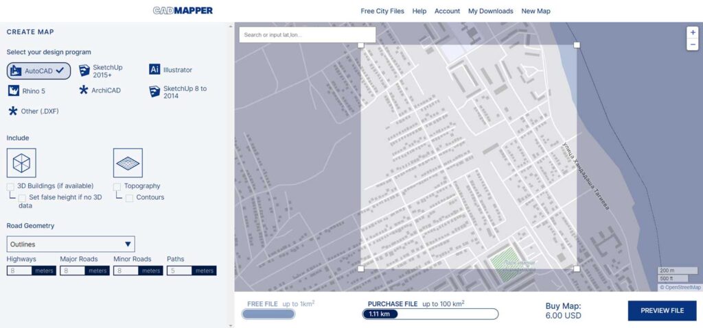
1. Cadmapper
Architects and urban planners use Cadmapper to save hours of routine drawing. It transforms data from public sources such as OpenStreetMap, NASA, and USGS into neatly organized CAD files.
2. Contour Map Creator
Contourmap creator is a free website to show the contour of the selected site. It also provides to export the map as an SVG which is an editable file in adobe illustrator.
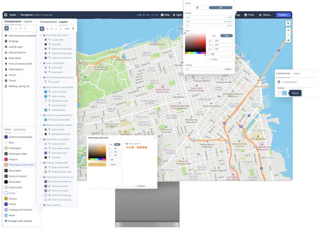
3. Mapbox
Mapbox provides powerful routing engines, accurate, traffic-powered travel times, and intuitive turn-by-turn directions to help you build engaging navigation experiences.
4. Pudding.cool
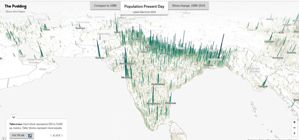
The Pudding is a digital publication that explains ideas debated in culture with visual essays makes data fun. You might have seen our story on celebrity name spelling story thumbnail, but we’ve also made stuff about the birthday paradox story thumbnail and world population story thumbnail. Some of my favorite projects are about news coverage story thumbnail, repetition in songs story thumbnail, and making it as a musician story thumbnail. So, welcome to The Pudding. Get cozy, you could be here a while. Explore all of our stories below.
This free website is showing the population of the selected city through illustrating in a cool way. You can also observe the change in population, compare the present day to 1990 and 1975.
5. Snazzy Maps
Snazzy Maps is a repository of different styles for Google Maps aimed towards web designers and developers.
6. Open Street Map
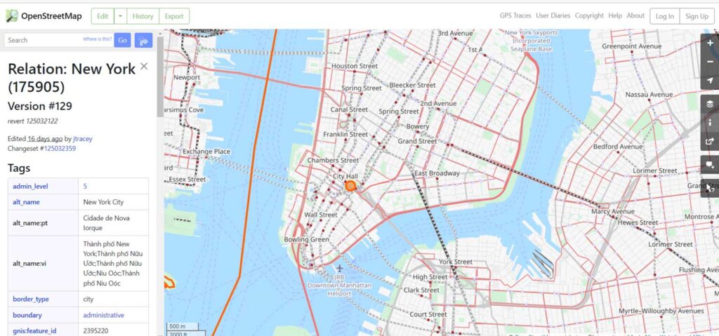
OpenStreetMap is a free, editable map of the whole world that is being built by volunteers largely from scratch and released with an open-content license. The OpenStreetMap License allows free (or almost free) access to our map images and all of our underlying map data
7. Map Stack by Stamen
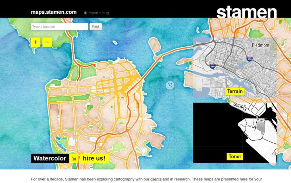
It seems like the technical side of map-making, the part that requires code or complicated software installations, fades a little more every day. People get to focus more on actual map-making than on server setup. Map Stack by Stamen is the most recent tool to help you do this.
8. Earth Map
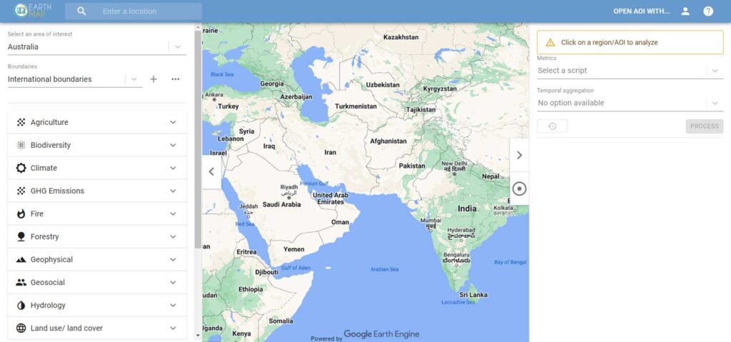
Earth Map is an innovative, free and open-source tool developed by the Food and Agriculture Organization of the United Nations (FAO) in the framework of the FAO – Google partnership. It was created to support countries, research institutes, farmers and members of the genral public with internet access to monitor their land in an easy, integrated and multi-temporal manner. It allows everyone to visualize, process and analyze satellite imagery and global datasets on climate, vegetation, fires, biodiversity, geo-social and other topics. Users need no prior knowledge of remote sensing or Geographical Information Systems (GIS).
9. MapQuest
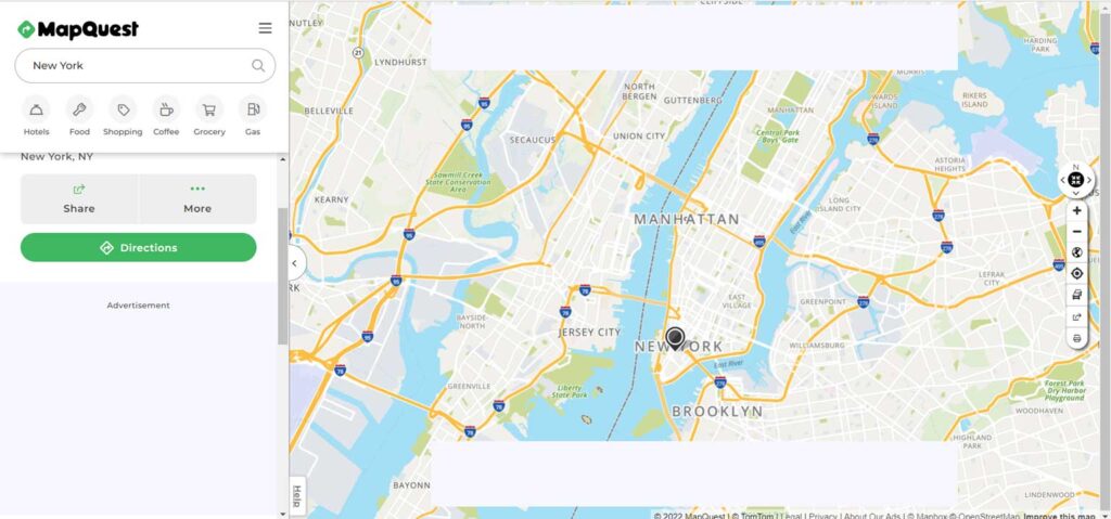
MapQuest is an American free online web mapping service. It was launched in 1996 as the first commercial web mapping service. MapQuest vies for market share with competitors such as Google Maps and Here.
10. Google Maps
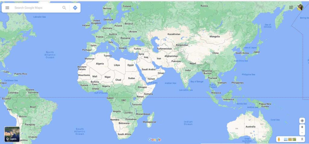
Google Maps is a web mapping platform and consumer application offered by Google. It offers satellite imagery, aerial photography, street maps, 360° interactive panoramic views of streets, real-time traffic conditions, and route planning for traveling by foot, car, bike, air and public transportation
11. Mapillary
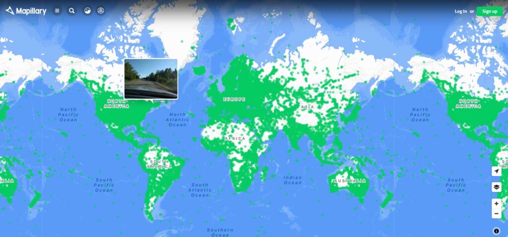
Mapillary is a service for sharing crowdsourced geotagged photos, developed by remote company Mapillary AB, based in Malmö, Sweden. Mapillary was launched in 2013 and acquired by Facebook, Inc. in 2020. This is one of the few alternative platforms that has street level imagery like Google Street View.
12. Maps.me
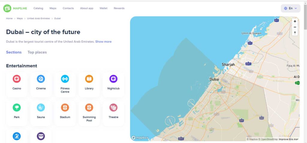
Maps.me initially forewent the web version and went directly to the mobile app version of their maps (they have since created a web version). They offer some of the best offline maps, with an easy to navigate interface and unlimited number of maps for downloading, covering nearly every square yard (or meter) of the world. It’s surprising how accurately they can get, even finding small footpaths through fields in obscure locations.
13. Waze
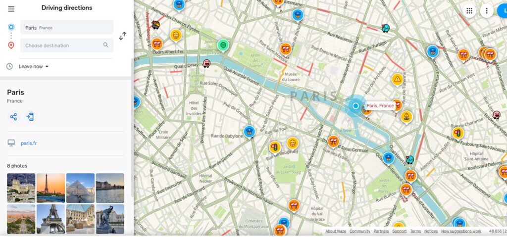
Waze, formerly FreeMap Israel, is a subsidiary of Google that provides satellite navigation software. It works on smartphones and other computers that have Global Positioning System support
14. Citymapper
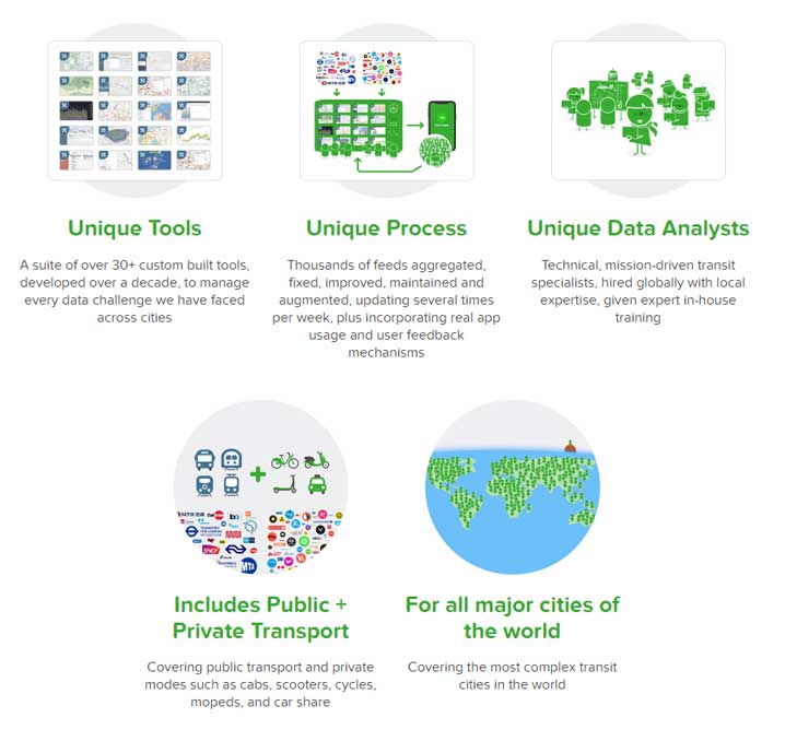
Citymapper is a public transit app and mapping service which displays transport options, usually with live timing, between any two locations in a supported city. It integrates data for all urban modes of transport, including walking, cycling and driving, in addition to public transport
15. NASA Worldview
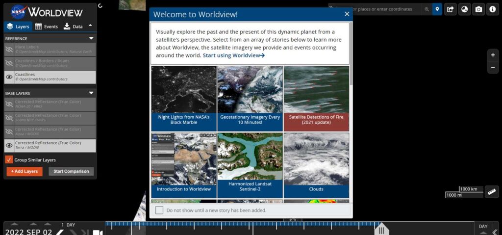
NASA Worldview is a free online visualization tool that is a great launchpad for learners who are new (or veteran) users of satellite data. Students and teachers interact with NASA’s daily, global satellite imagery of the Earth within hours of it being acquired!
16. ESRI Interactive Web Map
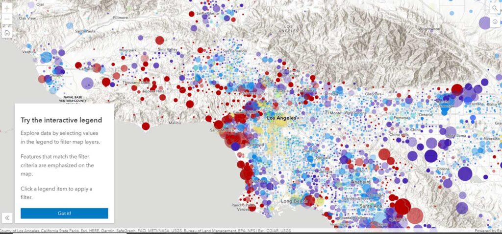
ESRI Interactive web maps give you and your team the opportunity to explore and update data. As you zoom in, additional data and insights become available. Click on the map to discover location-specific data displayed in charts or infographics. Filter data and change the symbology to gain additional perspectives and reveal new patterns.
Use your maps even without a network or cellular connection. Download your maps before you go, and conveniently access them on your smartphone or tablet. Once you are connected again any data you or your team added is automatically synchronized.

Urban Design Lab
About the Author
This is the admin account of Urban Design Lab. This account publishes articles written by team members, contributions from guest writers, and other occasional submissions. Please feel free to contact us if you have any questions or comments.
Related articles


Architecture Professional Degree Delisting: Explained
Periodic Table for Urban Design and Planning Elements

History of Urban Planning in India

Kim Dovey: Leading Theories on Informal Cities and Urban Assemblage
UDL GIS
Masterclass
GIS Made Easy – Learn to Map, Analyse, and Transform Urban Futures
Session Dates
23rd-27th February 2026

Urban Design Lab
Be the part of our Network
Stay updated on workshops, design tools, and calls for collaboration
Curating the best graduate thesis project globally!

Free E-Book
From thesis to Portfolio
A Guide to Convert Academic Work into a Professional Portfolio”
Recent Posts
- Article Posted:
- Article Posted:
- Article Posted:
- Article Posted:
- Article Posted:
- Article Posted:
- Article Posted:
- Article Posted:
- Article Posted:
- Article Posted:
- Article Posted:
- Article Posted:
- Article Posted:
Sign up for our Newsletter
“Let’s explore the new avenues of Urban environment together “
























4 Comments
There is another really great contour map generator here – https://contourmap.app/. It’s really fun to use.
great site , regards https://thecakeadda.com
Sharing a quality resource: morse-code-translator – morse code translator
Recommending a useful tool: deltaruneprophecypanelgenerator