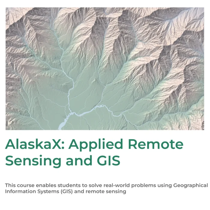
The GIS Essentials Professional Certificate Program provides a comprehensive, practice-oriented introduction to the foundations of Geographic Information Systems using industry-leading ArcGIS Pro. Designed for beginners and early-career professionals, the program equips learners with the ability to visualize, analyze, query, and interpret spatial data to reveal patterns, trends, and relationships for informed decision-making. Through three structured courses—GIS Foundations, 3D GIS, and GIS Image Analysis—participants gain hands-on experience working with real-world datasets, learning geoprocessing tools, map design principles, geospatial modelling, and the fundamentals of remote sensing.
With GIS rapidly transforming sectors such as urban planning, natural resource management, infrastructure, environmental monitoring, public policy, and disaster resilience, this certificate prepares learners for emerging opportunities in a high-growth field. The curriculum builds proficiency in 2D and 3D mapping, landscape and watershed analysis, land-cover classification, and image-based assessment of vegetation, wildfire severity, and flood impacts. By the end of the program, learners will be able to create compelling spatial visualizations, communicate analytical results effectively, and apply GIS methods to solve local-to-global challenges—making them job-ready for roles such as GIS Analyst, Geospatial Specialist, Remote Sensing Technician, or Research Assistant.

 Essentials 1")


Reviews
There are no reviews yet.