Description
About this Specialization
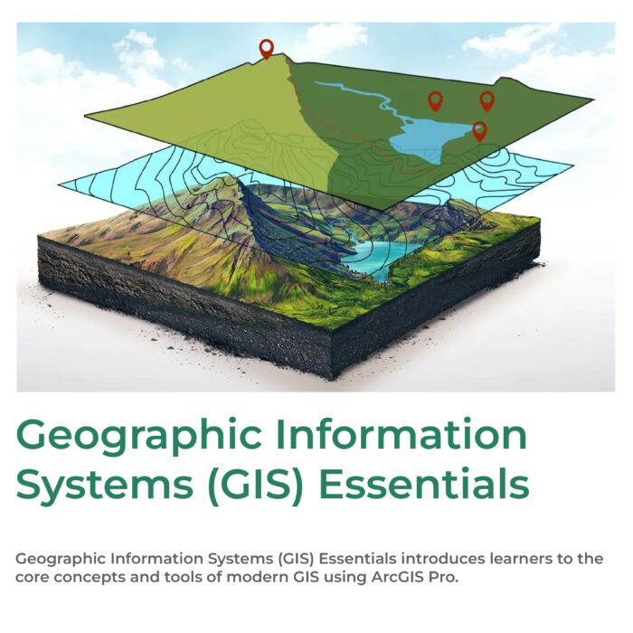
Knowledge of Geographic Information Systems (GIS) is an increasingly sought after skill in industries from agriculture to public health. This Specialization, offered in partnership with ArcGIS developer Esri, will teach the skills you need to successfully use GIS software in a professional setting. You will learn how to analyze your spatial data, use cartography techniques to communicate your results in maps, and collaborate with peers in GIS and GIS-dependent fields. In the final Capstone Project, you will create a professional-quality GIS portfolio piece using a combination of data identification and collection, analytical map development, and spatial analysis techniques.
What will you Learn?
- Create and work with raster data.
- Develop and analyze data for the geospatial analysis project.
- Develop a large processing workflow in ModelBuilder.
- Interpret and explain the results you obtained in comparison to your original GIS question and/or hypothesis.
Applied Learning Project
Learners will work through the various course projects to gain experience and skills related to geographic information systems. Each course reviews the concepts in a final project to reinforce your learning. Each course builds on the knowledge of the previous and the Specialization culminates with a capstone where you will design and execute a complete GIS-based analysis – from identifying a concept, question or issue you wish to develop, all the way to final data products and maps that you can add to your portfolio.

 Specialization | Coursera 1")


Reviews
There are no reviews yet.