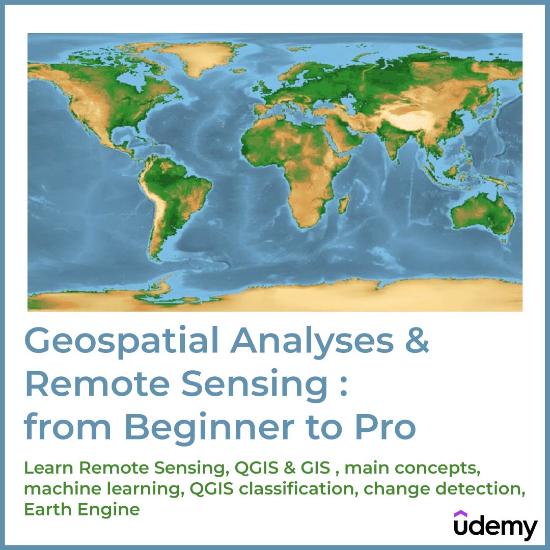
Geospatial Analyses & Remote Sensing | Udemy
Are you struggling with designing GIS or satellite-imagery-based maps for your project? Unsure where to start with Remote Sensing object-based image analysis, machine learning, QGIS, or Google Earth Engine?
Our comprehensive course is the solution you’ve been looking for. Learn step-by-step, with real-life projects, as we guide you through practical Remote Sensing and GIS techniques.
This course includes:
- 9 hours on-demand video
- 2 articles
- 27 downloadable resources
- Access on mobile and TV
- Full lifetime access
- Certificate of completion
$0.00
SKU
UDLCOURSE_009
Categories GIS, Software Courses
Tags 3D, 3D Modeling, 3ds Max, Corona renderer, Render
Description
What you’ll learn
-
Understand and implement basic concepts of Geographic Information Systems (GIS) and Remote Sensing
-
Fully understand the basics of Land use and Land Cover (LULC) Mapping and Change Detection in QGIS
-
Learn the most popular open-source GIS and Remote Sensing software tools (QGIS), Semi-automated classification (SCP) plugin, OTB toolbox)
-
Learn how to obtain satellite data, apply image preprocessing, create training and validation data in QGIS
-
Create your first GIS maps for your reports/presentations in QGIS
-
Understand machine learning concepts and its application in GIS and Remote Sensing
-
Apply Machine Learning image classification mapping and change detection in SCP, OTB toolbox and QGIS
-
Fully understand and apply advanced methods in machine learning in GIS and Remote Sensing, such as random forest classification and object-based image analysis,
-
You’ll have a copy of the labs, step-by-step manuals and scripts used in the course for QGIS & more
Who this course is for:
- Geographers, Programmers, geologists, biologists, social scientists, or everyone who deals with GIS maps in their field or would like to learn GIS and Remote Sensing
Requirements:
-
A working computer
-
An interest in working with spatial data
The course will be demonstrated using a QGIS version of Windows PC. Mac and Linux users will have to adapt the instructions to their operating systems.
This course includes:
- 9 hours on-demand video
- 2 articles
- 27 downloadable resources
- Access on mobile and TV
- Full lifetime access
- Certificate of completion
Be the first to review “Geospatial Analyses & Remote Sensing | Udemy” Cancel reply
This site uses Akismet to reduce spam. Learn how your comment data is processed.






Reviews
There are no reviews yet.