Learn geographic information systems (GIS) online | edX
GIS course curriculum
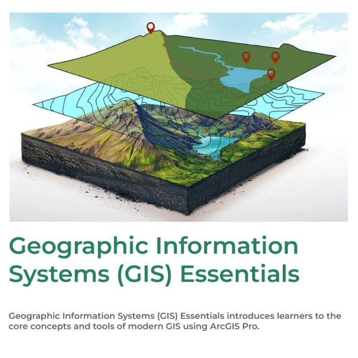
A beginner GIS course will introduce learners to primary GIS concepts, tools, and possibilities. For example, an introductory GIS class could cover lessons such as:
-
Understanding the capabilities and potential of GIS tools.
-
Using geoprocessing tools for spatial analysis, such as ESRI’s ArcGIS Pro software.
-
Communicating spatial analysis results through maps, graphs and ArcGIS story maps.
Start building the knowledge you need to work in GIS with edX. From accelerated boot camps to comprehensive programs that allow you to earn a bachelor’s degree or (for more advanced learners) a master’s degree, there are many different learning formats available to fit your needs.
Description
What is GIS?
GIS, or geographic information systems, is a technology that integrates spatial data, such as maps and satellite imagery, with analysis to understand patterns, relationships, and trends in a geographic context. It enables users to visualize, query, and interpret data to make informed decisions about location-based problems or challenges.
GIS is used in diverse industries like urban planning, natural resource management, emergency response, and business intelligence. When we reveal spatial patterns, we can uncover hidden relationships and address complex spatial challenges, such as how to promote sustainable land use and allocate resources after a natural disaster.
GIS can offer a stimulating and rewarding career path for those passionate about harnessing the power of location intelligence to make a tangible impact on society and the environment.
This site uses Akismet to reduce spam. Learn how your comment data is processed.


Reviews
There are no reviews yet.