The Evolution of Urban Maps
Ancient Beginnings
Over 7,000 years ago, the first cities emerged near fertile river valleys like the Nile, Tigris, Euphrates, Indus, and Yellow Rivers. As these cities grew, the need for maps became evident. Ancient city maps, such as the one from Çatal Hüyük in modern-day Turkey, provide insights into early urban maps.
In Mesopotamia, detailed city plans from the 3rd millennium BCE, found in Nippur, showcased urban life and organization. Mohenjo-Daro in the Indus Valley, dating back to 2500 BCE, revealed advanced urban planning.

The Nascent Stages of Cartography
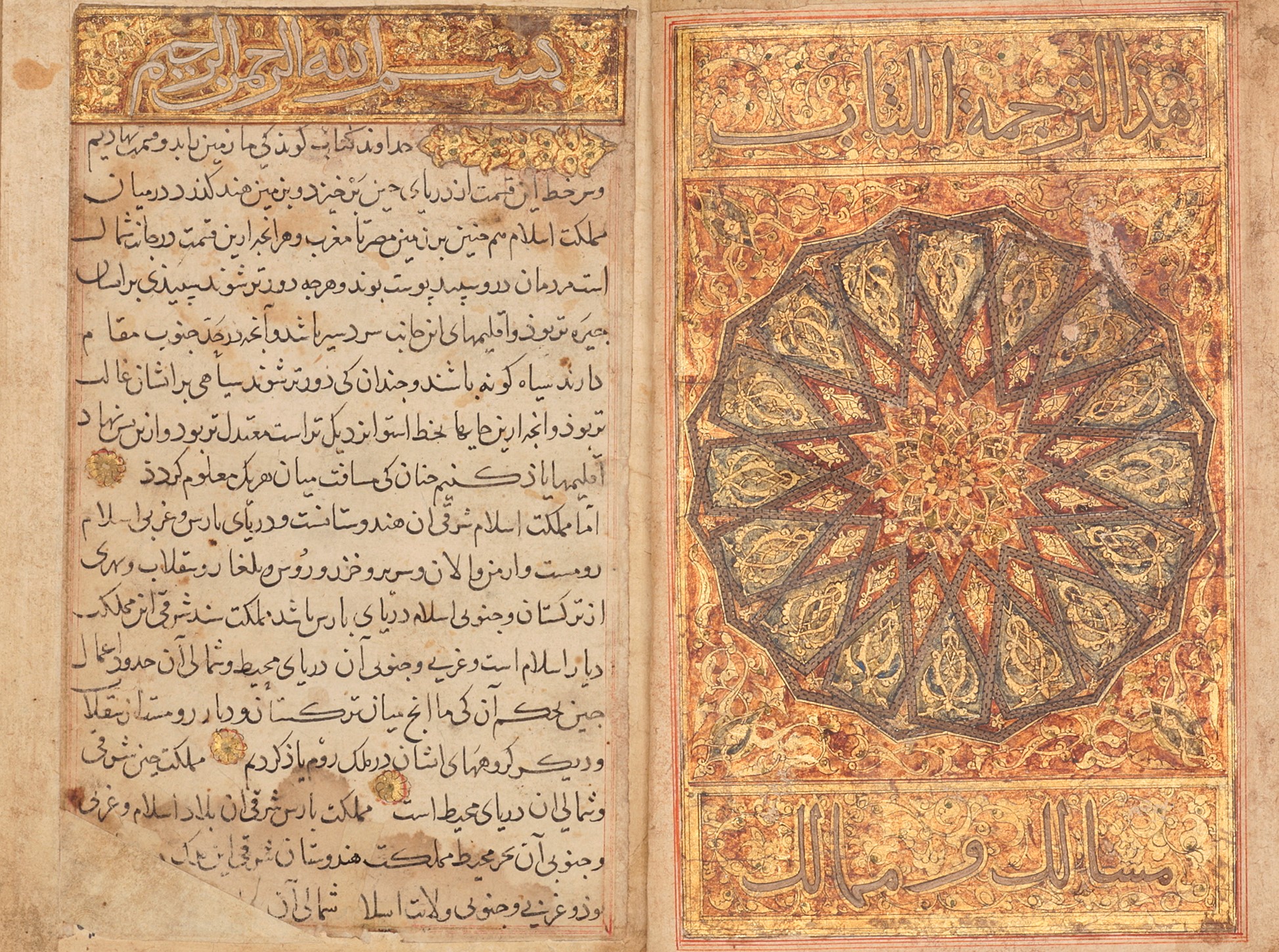
Fast forward to the 10th century when cartography was in its infancy. The growing need for navigation and trade led to the creation of maps. The “Book of Roads and Kingdoms” by the Persian geographer Ibn Khordadbeh in the 9th century laid the foundation for urban mapping in the Islamic world, providing valuable insights into urban layouts and transportation networks.
The Renaissance of Mapping
The 12th century witnessed a significant transformation in maps. As exploration expanded, there was a need for more accurate world maps. The “Tabula Rogeriana” by Muhammad al-Idrisi in 1154 provided a more precise representation of the known world, contributing to the refinement of cartographic techniques.
In the late 14th century, the “Catalan Atlas” by Abraham Cresques continued to emphasize cities, towns, and landmarks, providing textual descriptions that shaped urban perspectives.

Precision in Urban Mapping
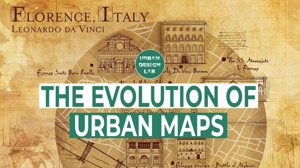
The 16th century saw a shift towards precision and practicality in urban mapping. Leonardo da Vinci’s “Imola Plan” departed from symbolic city maps, offering meticulous and accurate representations. These precise urban maps were crucial for infrastructure and city planning, setting new standards for cartography.

Mapping Epidemics and Modern Innovations
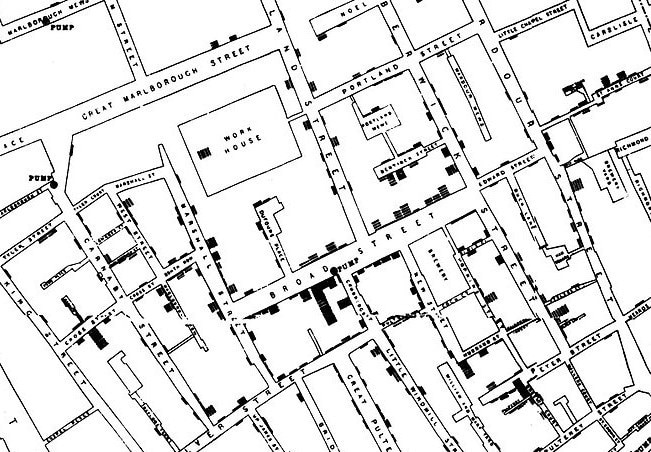
In the 19th century, Dr. John Snow’s map during a cholera outbreak in London revealed a groundbreaking pattern that laid the foundation for modern epidemiology. This demonstrated that maps were not just tools for urban planning but also instruments for public health and safety. It underscored the power of maps to uncover hidden patterns and inform critical decisions.
World War II ushered in aerial photography, revolutionizing urban mapping during the post-war urbanization boom. These aerial images provided new perspectives on cities and their growth, highlighting the need for comprehensive mapping for planning and development.
The digital age brought Geographic Information Systems (GIS), transforming urban planning with sophisticated mapping and analysis techniques. This marked the transition from traditional paper maps to dynamic digital tools that could analyze complex urban data. Maps became not just representations but dynamic platforms for understanding and managing cities.
The Digital Revolution
The late 20th century saw the launch of web-based mapping services like Google Maps, meeting the demand for real-time data and interactive experiences. Crowdsourced data and augmented reality enriched mapping, blurring the lines between virtual and physical worlds.
In the 21st century, smartphones turned citizens into cartographers, contributing real-time information about their cities. Augmented reality technologies offered novel ways to explore urban environments.
The Power of AI and Machine Learning
But perhaps one of the most significant advancements in urban mapping during this century has been the integration of artificial intelligence (AI) and machine learning. These technologies have optimized urban data analysis, aiding city planners in making informed decisions. Predictive models forecasted urban development trends, enabling proactive planning. AI and machine learning brought automation and data-driven insights to urban mapping, allowing for more accurate predictions about city growth and resource management.

Conclusion
In conclusion, the evolution of urban mapping reflects human ingenuity and our quest for precision and accessibility. From ancient blueprints to AI-driven smart maps, they have shaped our cities and lives, evolving alongside the cities they depict. As technology advances, urban mapping will continue to play a vital role in shaping the cities of the future.
If you want to explore this topic in even more detail, we encourage you to watch our YouTube video on the “Evolution of Urban Maps.” It provides a visual journey through the fascinating history of urban mapping, showing how these maps have not only documented our cities but also influenced their development. Embrace the impact of these maps on your surroundings, and let’s create thriving, well-designed cities. Keep discovering the world through the lens of cartography, for it is a journey that will never cease to evolve.

Urban Design Lab
About the Author
This is the admin account of Urban Design Lab. This account publishes articles written by team members, contributions from guest writers, and other occasional submissions. Please feel free to contact us if you have any questions or comments.
Related articles


Architecture Professional Degree Delisting: Explained
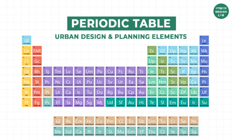
Periodic Table for Urban Design and Planning Elements
History of Urban Planning in India

Best Landscape Architecture Firms in Canada
UDL GIS
Masterclass
GIS Made Easy – Learn to Map, Analyse, and Transform Urban Futures
Session Dates
23rd-27th February 2026

Urban Design Lab
Be the part of our Network
Stay updated on workshops, design tools, and calls for collaboration
Curating the best graduate thesis project globally!

Free E-Book
From thesis to Portfolio
A Guide to Convert Academic Work into a Professional Portfolio”
Recent Posts
- Article Posted:
- Article Posted:
- Article Posted:
- Article Posted:
- Article Posted:
- Article Posted:
- Article Posted:
- Article Posted:
- Article Posted:
- Article Posted:
- Article Posted:
- Article Posted:
Sign up for our Newsletter
“Let’s explore the new avenues of Urban environment together “


