Urban Mapping Guide: Tips and Techniques
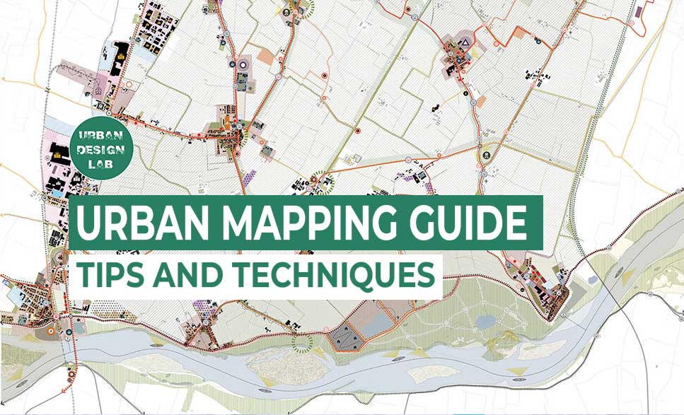
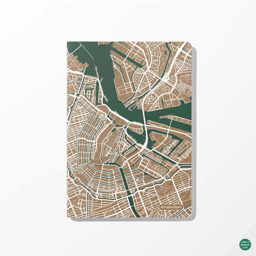
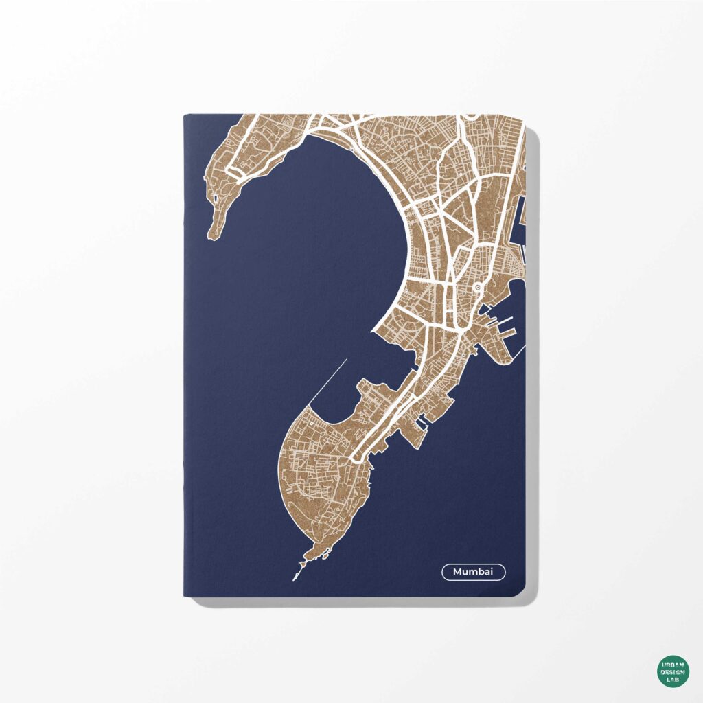
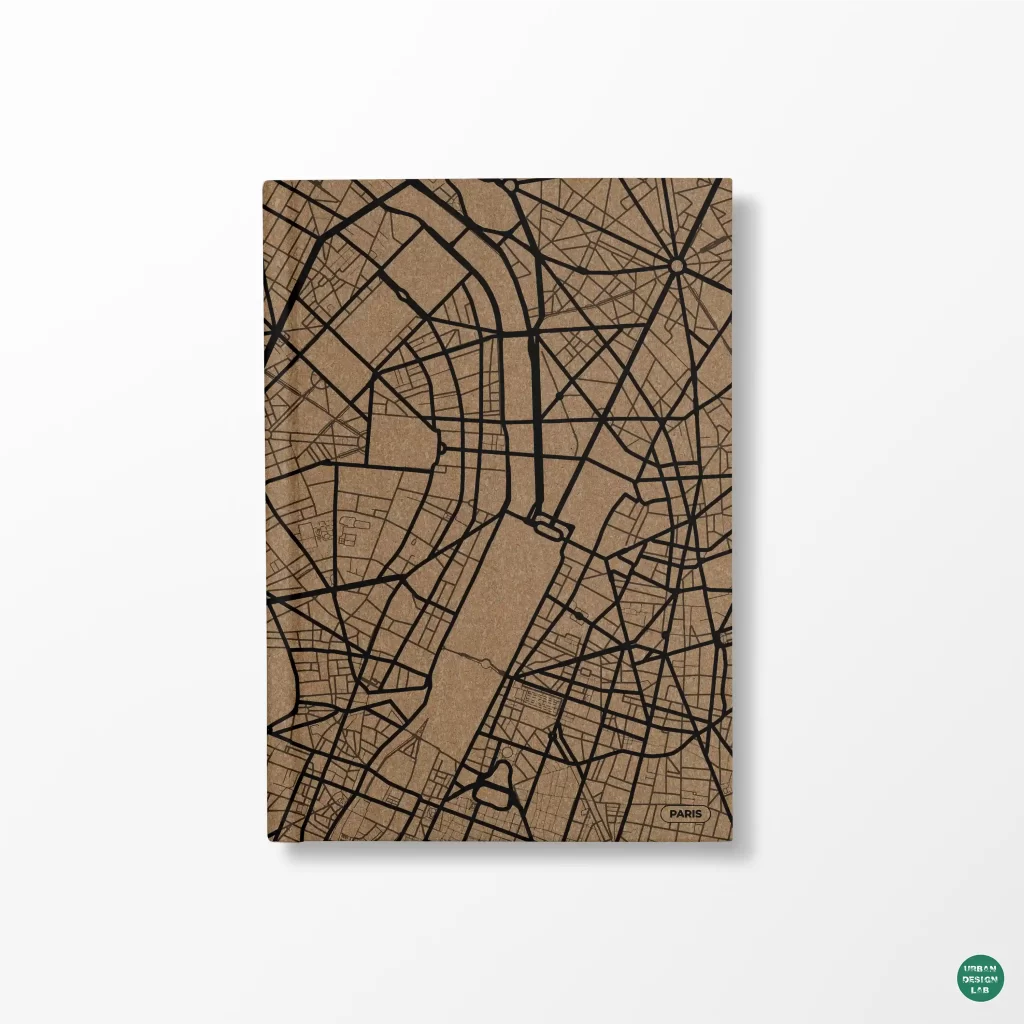
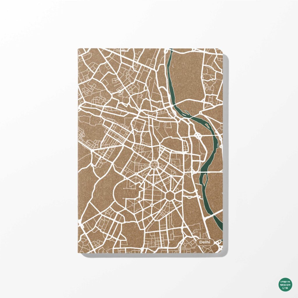
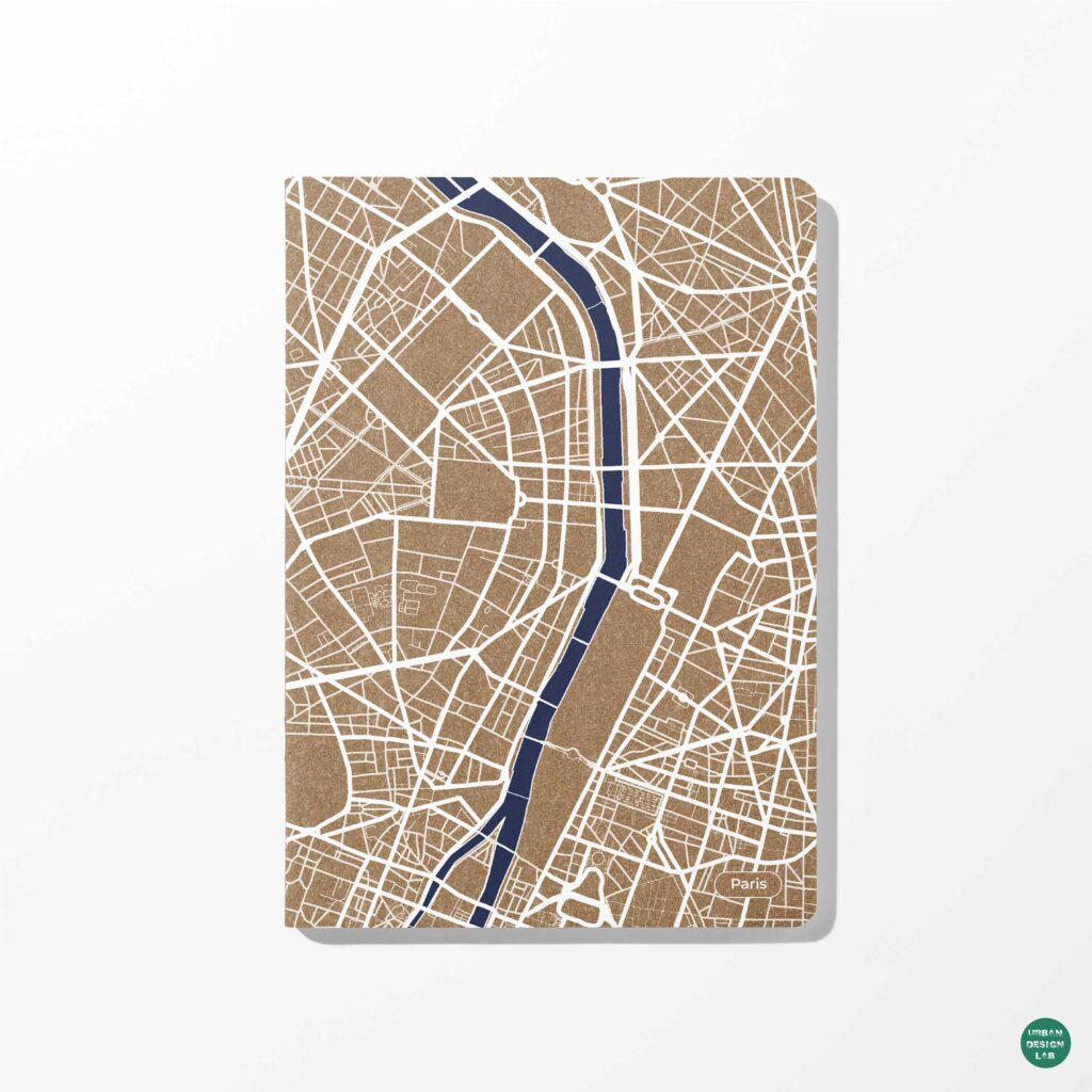
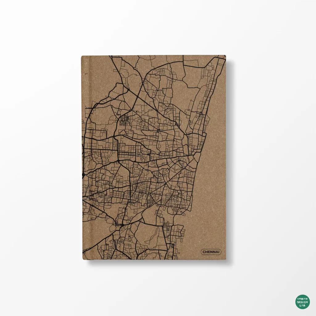
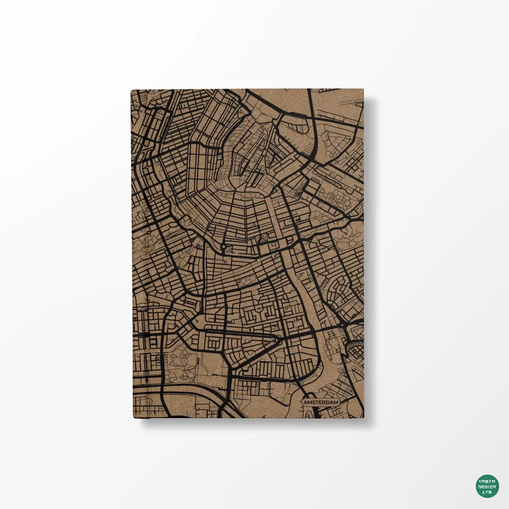
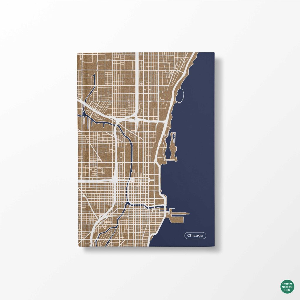
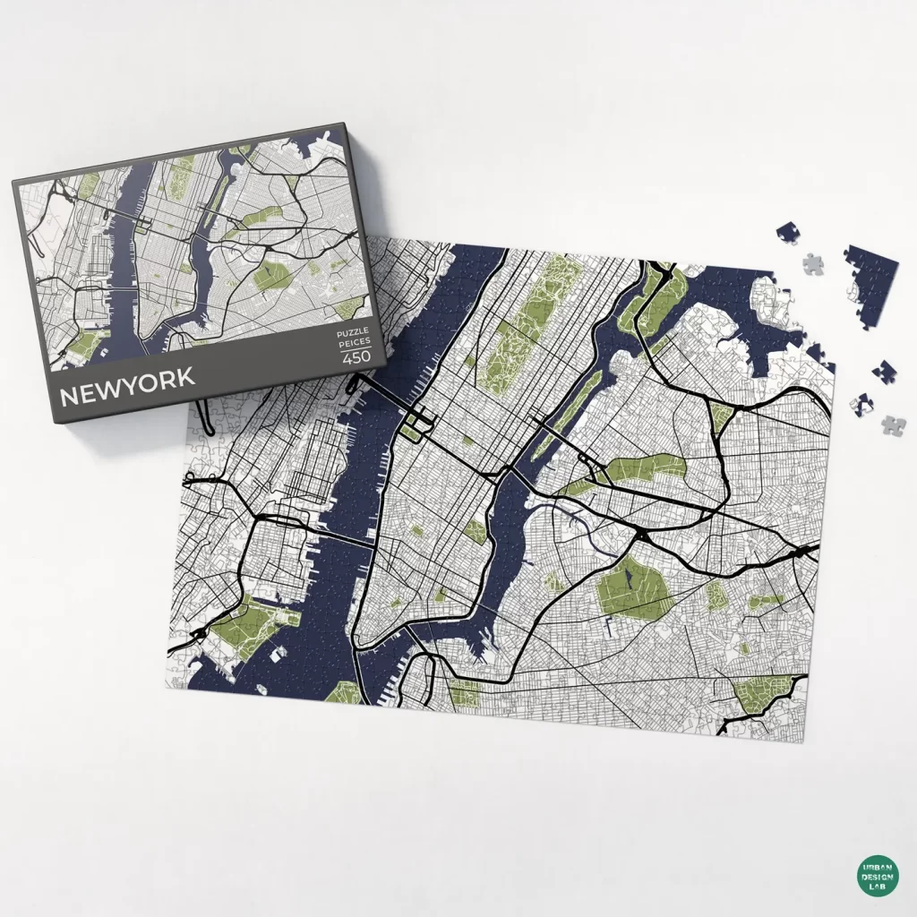
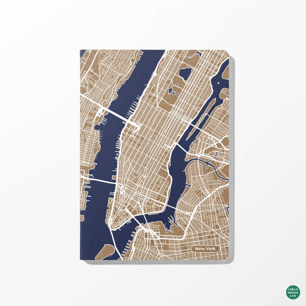
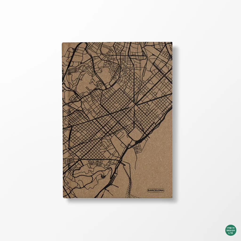
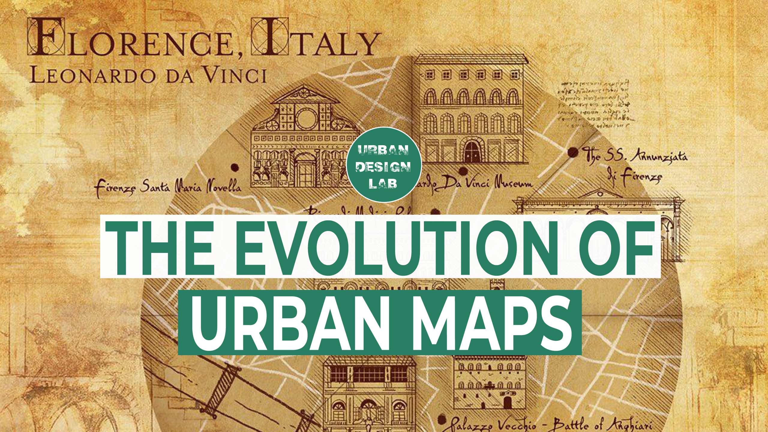
Urban mapping is a key procedure that highlights important landmarks, roads, and buildings to produce a visual depiction of a city or town. These maps are essential for city planners, property developers, visitors, and locals. Urban mapping is essential to city planning, development, and management because it offers a visual depiction of the city’s infrastructure that can be used to pinpoint problem areas, create new transit networks, and decide where to put infrastructure or structures. Urban mapping also acts as a guide for locals and visitors, assisting them in navigating the city and learning about new sites to see. Urban mapping is covered in detail in this article, along with its significance and a step-by-step tutorial for making and using urban maps.
Urban Mapping: Importance and Applications
As such, urban mapping is a vital resource for city administrators, builders, and planners. It’s useful for figuring out what residents of a city need, making the city more pleasant to live in, and connecting them to available services. Better and more efficient transportation planning is made possible by accurate urban mapping, which in turn reduces traffic and enhances air quality. In addition, urban maps let builders see how their work will fit in with the surrounding area, resulting in smarter, greener building practises.
There is a direct correlation between urban mapping and tourism since it gives tourists a bird’s-eye view of a city’s best features. Tourists can use urban maps to get around, discover hidden gems, and get a feel for the city’s general structure. As an added bonus, urban mapping aids in crisis management by providing essential data to first responders so they can better coordinate and respond to situations.
Creating an Urban Map
Creating an urban map can be a complex process that requires specialized skills and software. Here is a step-by-step guide to creating an urban map:
Step 1: Choose a Base Map
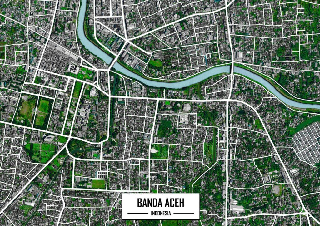
When creating an urban map, the first step is to carefully select a suitable base map. A base map provides a template that serves as the foundation of your map, including essential geographic features like roads, bodies of water, and landmarks. You can either create your base map using software like ArcGIS, QGIS, or Google Maps or use pre-existing base maps available online like OpenStreetMap or Mapbox.
It’s crucial to select the right base map that is accurate, reliable and meets the requirements of your intended audience. You should consider the type of map you want to create, the level of detail needed, and the specific features you want to emphasize. For instance, if you’re designing a map for tourists, you may want to highlight popular landmarks and attractions, while an urban planner may focus on transportation routes and infrastructure.
Additionally, you should also pay attention to the scale of the base map. Ensure that it provides enough detail for your intended audience without being overwhelming or cluttered. A base map that is too detailed can be confusing, while one that is not detailed enough can be unhelpful.
Step 2: Gather Data
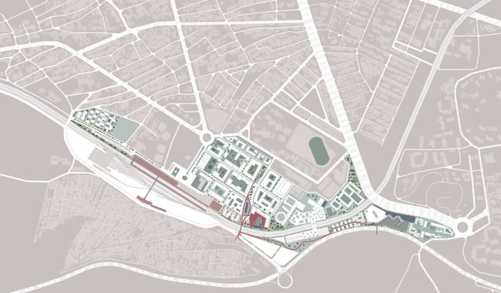
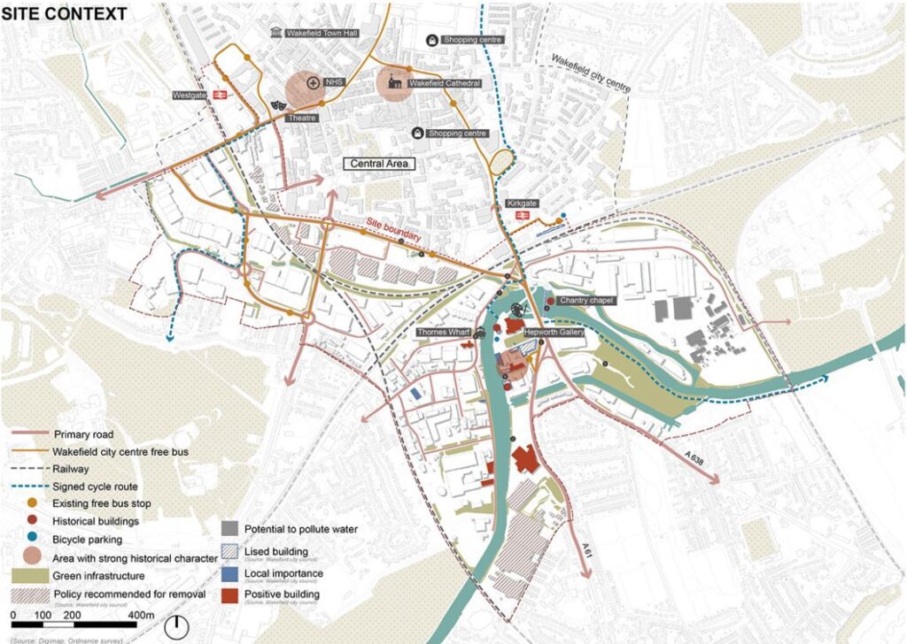
The next step in creating an urban map is to gather data. This data can come from a variety of sources, including government agencies, private companies, and community groups. Some of the data you may want to include in your map are:
- Roads and highways: Include all roads and highways, including major and minor streets, freeways, and access roads.
- Public transportation routes and stops: Public transportation is a critical part of any urban map, and it’s essential to include all public transportation routes and stops in your map.
- Landmarks and points of interest: Highlight popular landmarks, tourist attractions, and other points of interest such as shopping areas, restaurants, and museums.
- Building footprints and heights: Include the footprints and heights of all buildings in the city, including commercial and residential buildings.
- Population density and demographics: Urban maps should include data on population density and demographics to provide a better understanding of the city’s residents and their needs.
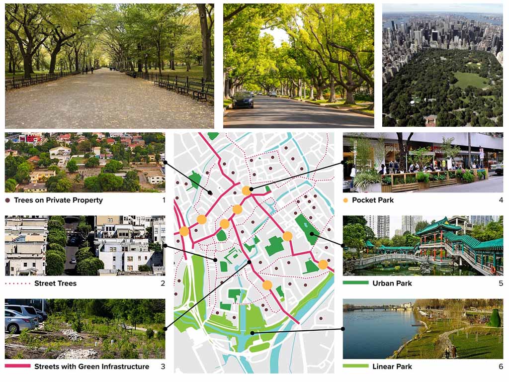
- Natural features such as parks and waterways: Highlight natural features such as parks, rivers, and lakes to showcase the city’s natural beauty.
Import Data into Mapping Software
Importing data into your mapping software is a crucial step in creating an urban map. Most mapping software allows you to import data in different formats like CSV, shapefiles, or geoJSON. However, before importing your data, it’s important to ensure that it’s clean, organized and in the right format.
To ensure that your data is clean and organized, remove any duplicates and correct any errors or inconsistencies. This can be done manually or by using software tools like OpenRefine or Trifacta. Additionally, ensure that your data is in the correct format for your mapping software. For example, if you’re using QGIS, your data should be in shapefile format.
When importing your data, it’s important to choose the correct data type to ensure that it’s displayed correctly on your map. For example, if you’re importing point data, you need to specify the correct coordinate system, while if you’re importing polygon data, you need to ensure that it’s correctly classified.
Step 4: Customize Your Map
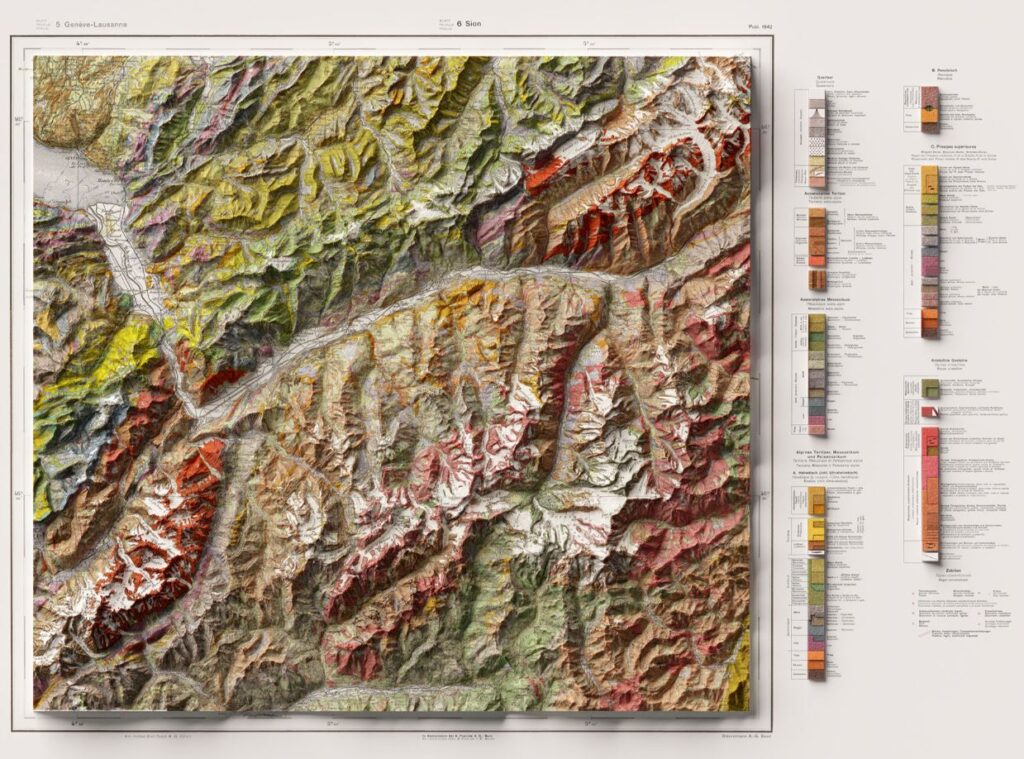
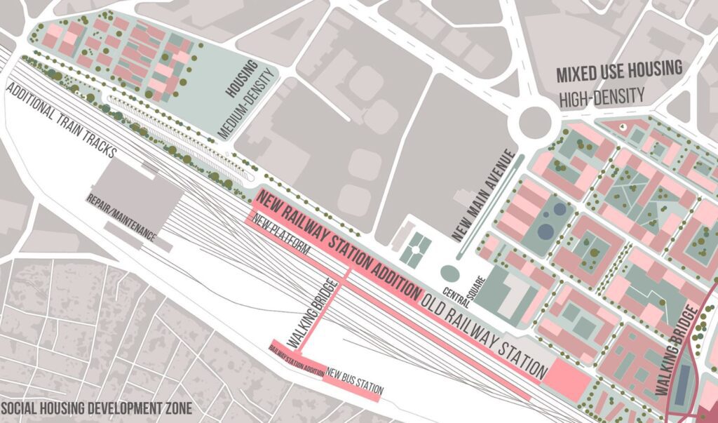
Once you have imported your data, you can customize your urban map to suit your specific needs. You can modify the style and color of your base map, add or remove layers, and adjust labels and legends to create an informative and visually appealing map.
To ensure that your map is clear and easy to read, it’s important to use contrasting colors, legible fonts, and appropriate sizes for your labels and symbols. Choosing the right colors and fonts can also help to convey the intended message of your map.
You can also add additional layers of information to your map, such as land use, population density, and infrastructure data. This additional data can provide insights into specific aspects of the urban environment and help viewers to better understand the city’s layout.
Another way to enhance your urban map is by using interactive features, such as zooming and panning, to allow viewers to explore the map in greater detail. You can also incorporate multimedia elements like videos, images, and audio to provide a more immersive experience.
Step 5: Publish and Share Your Map
Once you have created your urban map, the next step is to share and publish it so that others can benefit from your work. There are several ways to share your map, depending on your intended audience and the purpose of your map.
- Online platforms: Most mapping software allows you to publish your map online, making it accessible to anyone with an internet connection. You can share your map on platforms like Google Maps, Mapbox, or ArcGIS Online. These platforms allow for easy sharing and embedding, making it easy to reach a wider audience.
- Social media: You can also share your map on social media platforms like Twitter, Facebook, or Instagram. This can help you reach a broader audience and engage with your followers. Consider using relevant hashtags and tagging relevant organizations or individuals to increase visibility.
- Email: If you’re sharing your map with a specific group of people, such as urban planners or community members, consider sending it via email. This allows you to provide context and background information and can help ensure that your map is seen by the right people.
- Print: If you need a physical copy of your map, you can export it as a PDF or image file and print it out. This can be useful for presentations, meetings, or other situations where a digital map may not be appropriate.
- Add additional resources: Consider adding additional resources to your map, such as links to relevant websites or documents. This can provide context and background information to your viewers and help them better understand the city and its features.
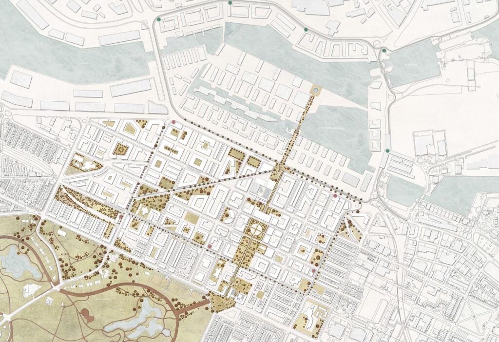
Urban mapping is a crucial process that provides a visual representation of the city’s infrastructure, landmarks, and other features. It plays a significant role in urban planning, development, and management, helping stakeholders make informed decisions and improve the livability of the city. Creating an urban map requires specialized skills and software, but it can be a rewarding and valuable tool for anyone who lives, works, or visits the city. Whether you’re a resident, tourist, or urban planner, an urban map is a useful tool for navigating the city, discovering new places, and understanding the urban landscape.

Urban Design Lab
About the Author
This is the admin account of Urban Design Lab. This account publishes articles written by team members, contributions from guest writers, and other occasional submissions. Please feel free to contact us if you have any questions or comments.
Related articles



Micro-Mobility and Modular Design in Urban Living


Rethinking Urban Planning Careers in India

5-Days UDL GIS
Masterclass
GIS Made Easy – Learn to Map, Analyse, and Transform Urban Futures
Session Dates
14th-18th July 2025

Free E-Book
From thesis to Portfolio
A Guide to Convert Academic Work into a Professional Portfolio”
Recent Posts
- Article Posted:
- Article Posted:
- Article Posted:
- Article Posted:
- Article Posted:
- Article Posted:
- Article Posted:
- Article Posted:
- Article Posted:
- Article Posted:
- Article Posted:
- Article Posted:
- Article Posted:
- Article Posted:
- Article Posted:
Sign up for our Newsletter
“Let’s explore the new avenues of Urban environment together “


