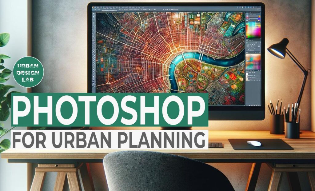
In the evolving realm of urban planning, the fusion of technical expertise and creative visualization is crucial. Adobe Photoshop, a leading graphic design software, plays a pivotal role in this synthesis. This comprehensive guide explores the multifaceted applications of Photoshop in urban planning, offering insights into its potential to transform urban visions into tangible plans and engaging presentations.
Urban planning is more than just physical design; it is also about narrative, as planners must communicate complicated ideas and future aspirations to varied audiences. Photoshop, with its huge selection of tools, provides an unrivaled platform for this storytelling. Photoshop acts as a bridge between the planner’s imagination and the audience’s understanding whether it comes to revitalizing a deteriorating urban district, creating a new public transit system, or planning for sustainable urban expansion.
Furthermore, at an age where urban challenges are becoming increasingly complex and linked with social, environmental, and economic factors, the capacity to rapidly iterate concepts and visualize their impact becomes critical. Photoshop allows planners to alter and experiment with urban layouts, simulate environmental changes, and analyze the sustainability of proposed projects all within a visually rich and dynamic environment.
Planners can apply different styles, colors, and textures to make each element distinct. This customization not only enhances the map’s clarity and aesthetic appeal but also ensures that it caters to the specific needs of the project and audience. Whether it’s for a public presentation, a stakeholder meeting, or an internal review, the ability to tailor maps to suit different contexts and purposes is invaluable.
Spatial Analysis Visualization
Photoshop aids in visualizing spatial analysis outcomes, bridging the gap between raw data and actionable insights. When planners import data from Geographic Information Systems (GIS), they can leverage Photoshop to create more than just traditional maps; they can develop visually compelling representations of complex data.
One such application is the creation of heat maps. These maps are crucial in urban planning for visualizing data like population density, crime rates, or areas of high pedestrian traffic. By using color gradients, these heat maps provide an intuitive understanding of spatial patterns and trends, which might be lost in numerical data tables.
Spatial distributions are another critical aspect. Photoshop can be used to illustrate the distribution of various urban elements, such as green spaces, public transport stops, or commercial centers. This visualization aids in identifying areas of imbalance or need, informing decisions about urban development or resource allocation.
Creating Detailed Urban Maps
Urban planners can utilize Photoshop to develop intricate maps that are much more than just visual representations; they are tools for understanding and shaping the urban fabric. In Photoshop, the process extends beyond basic design to encompass a comprehensive spatial narrative. Planners can integrate spatial data into their maps, representing various urban elements such as green spaces, transportation networks, residential areas, commercial zones, and public amenities. This integration helps in creating a multi-dimensional view of urban landscapes.
2. Rendering and Visualizing Future Developments
Enhancing Architectural Renderings
Photoshop aids in visualizin Photoshop’s advanced tools enable the transformation of architectural sketches or 3D models into detailed, lifelike renderings. These can include realistic textures, shadows, and environmental contexts, helping stakeholders envision proposed structures within their future urban setting.g spatial analysis outcomes, bridging the gap between raw data and actionable insights. When planners import data from Geographic Information Systems (GIS), they can leverage Photoshop to create more than just traditional maps; they can develop visually compelling representations of complex data.
Source: UDL Photoshop Masterclass
Scenario Visualization
Urban planners use Photoshop to visualize different development scenarios. This might involve showing before-and-after images of urban redevelopment projects, simulating the impact of new policies, or presenting alternative urban designs.
3. Communication and Public Engagement
Developing Engaging Presentations:
Effective communication is key in urban planning. Photoshop assists in creating visually appealing presentation materials like slide decks, posters, and brochures, which are vital for public consultations, stakeholder meetings, and community workshops.
Interactive Public Engagement Tools:
Utilizing Photoshop, planners can design interactive tools such as web interfaces and digital surveys. These tools often incorporate visual elements like maps and infographics, enhancing public understanding and participation.
4. Data Presentation and Infographics
Creating Informative Infographics:
Utilizing Photoshop, planners can design interactive tools such as web interfaces and digital surveys. These tools often incorporate visual elements like maps and infographics, enhancing public understanding and participation.The software’s rich graphic and text capabilities enable the creation of infographics. These visuals can succinctly present complex urban data, such as demographic trends, traffic studies, or environmental impact assessments, making them accessible to a non-specialist audience.
Report Enhancement:
For formal reporting, Photoshop can be used to enhance charts, graphs, and other visual data representations, ensuring that reports are not only informative but also visually engaging.
5. Integration with Other Urban Planning Tools
Software Interoperability:
A key strength of Photoshop is its compatibility with other urban planning tools. Planners can seamlessly integrate Photoshop with CAD software, 3D modeling programs, and GIS, facilitating a holistic and collaborative planning approach.
Photoshop Tools for Urban Planning
1. Batch Processing:
In the realm of urban planning, the application of advanced image processing techniques can significantly enhance the planning and visualization process. One such technique is batch processing, which automates repetitive tasks such as resizing a batch of images. This is particularly useful when urban planners are dealing with multiple images or data sets. For instance, when processing aerial shots of a city or architectural designs, batch processing can streamline the workflow, saving time and ensuring consistency across all images. This efficiency is crucial when urban planners are working under tight deadlines and need to process a large volume of visual data for analysis and presentation.
2. Photo Montages:
Another powerful tool in urban planning is the creation of photo montages. These montages are instrumental in visualizing future development projects within the existing urban context. By superimposing proposed structures or modifications onto existing photographs of a site, planners and stakeholders can gain a clearer understanding of the scale, design, and potential impact of these developments. This visual representation is invaluable for assessing aesthetic harmony, spatial relationships, and the overall integration of new developments into the current urban fabric. It enables planners, architects, and the public to envisage the future skyline, streetscapes, and the transformation of public spaces.
Source: https://guxarias.com/photoshop
3. Perspective Correction:
Perspective correction is another critical aspect of image processing in urban planning. Photographs of buildings or streets often suffer from perspective distortions, especially when taken from ground level or at an angle. Correcting these distortions is essential for accurate before-and-after visualizations in urban planning projects. Perspective correction tools allow planners to align and compare images in a more standardized and realistic manner. This is particularly important when presenting proposals to decision-makers or the public, as it provides a more truthful and comprehensible visual representation of proposed changes or developments.
4. Shadow and Lighting Effects:
The use of shadow and lighting effects in image processing also plays a vital role in urban planning. By simulating different times of day or showing how new structures might cast shadows in an urban environment, planners can assess the impact of new developments on natural light and the urban microclimate. This is crucial for evaluating the livability and environmental impact of urban spaces. For instance, understanding how a new high-rise building will cast shadows on a nearby park or residential area can influence design decisions to optimize sunlight exposure and enhance the quality of urban spaces.
Source: Architizer
5.Creating Composite Images:
Lastly, creating composite images is a technique widely used in urban planning to combine different images or elements, such as proposed buildings or parks, into a single cohesive image. This helps in showing potential development and changes in the urban landscape. Composite images can be used to create a holistic view of proposed developments in relation to the existing urban environment, providing a clear and integrated vision of future transformations. This is particularly useful for engaging with stakeholders and the public, as it offers a tangible and comprehensive visualization of how individual projects fit into the broader urban context.
This is the admin account of Urban Design Lab. This account publishes articles written by team members, contributions from guest writers, and other occasional submissions. Please feel free to contact us if you have any questions or comments.
“Let’s explore the new avenues of Urban environment together “
We use cookies on our website to give you the most relevant experience by remembering your preferences and repeat visits. By clicking “Accept”, you consent to the use of all the cookies. Read More
This website uses cookies to improve your experience while you navigate through the website. Out of these, the cookies that are categorized as necessary are stored on your browser as they are essential for the working of basic functionalities of the website. We also use third-party cookies that help us analyze and understand how you use this website. These cookies will be stored in your browser only with your consent. You also have the option to opt-out of these cookies. But opting out of some of these cookies may affect your browsing experience.
Necessary cookies are absolutely essential for the website to function properly. These cookies ensure basic functionalities and security features of the website, anonymously.
Cookie
Duration
Description
cookielawinfo-checkbox-analytics
11 months
This cookie is set by GDPR Cookie Consent plugin. The cookie is used to store the user consent for the cookies in the category "Analytics".
cookielawinfo-checkbox-functional
11 months
The cookie is set by GDPR cookie consent to record the user consent for the cookies in the category "Functional".
cookielawinfo-checkbox-necessary
11 months
This cookie is set by GDPR Cookie Consent plugin. The cookies is used to store the user consent for the cookies in the category "Necessary".
cookielawinfo-checkbox-others
11 months
This cookie is set by GDPR Cookie Consent plugin. The cookie is used to store the user consent for the cookies in the category "Other.
cookielawinfo-checkbox-performance
11 months
This cookie is set by GDPR Cookie Consent plugin. The cookie is used to store the user consent for the cookies in the category "Performance".
viewed_cookie_policy
11 months
The cookie is set by the GDPR Cookie Consent plugin and is used to store whether or not user has consented to the use of cookies. It does not store any personal data.
Functional cookies help to perform certain functionalities like sharing the content of the website on social media platforms, collect feedbacks, and other third-party features.
Performance cookies are used to understand and analyze the key performance indexes of the website which helps in delivering a better user experience for the visitors.
Analytical cookies are used to understand how visitors interact with the website. These cookies help provide information on metrics the number of visitors, bounce rate, traffic source, etc.
Advertisement cookies are used to provide visitors with relevant ads and marketing campaigns. These cookies track visitors across websites and collect information to provide customized ads.


