

An evidence-led assessment of street reallocation, cycling, air quality and metropolitan limits
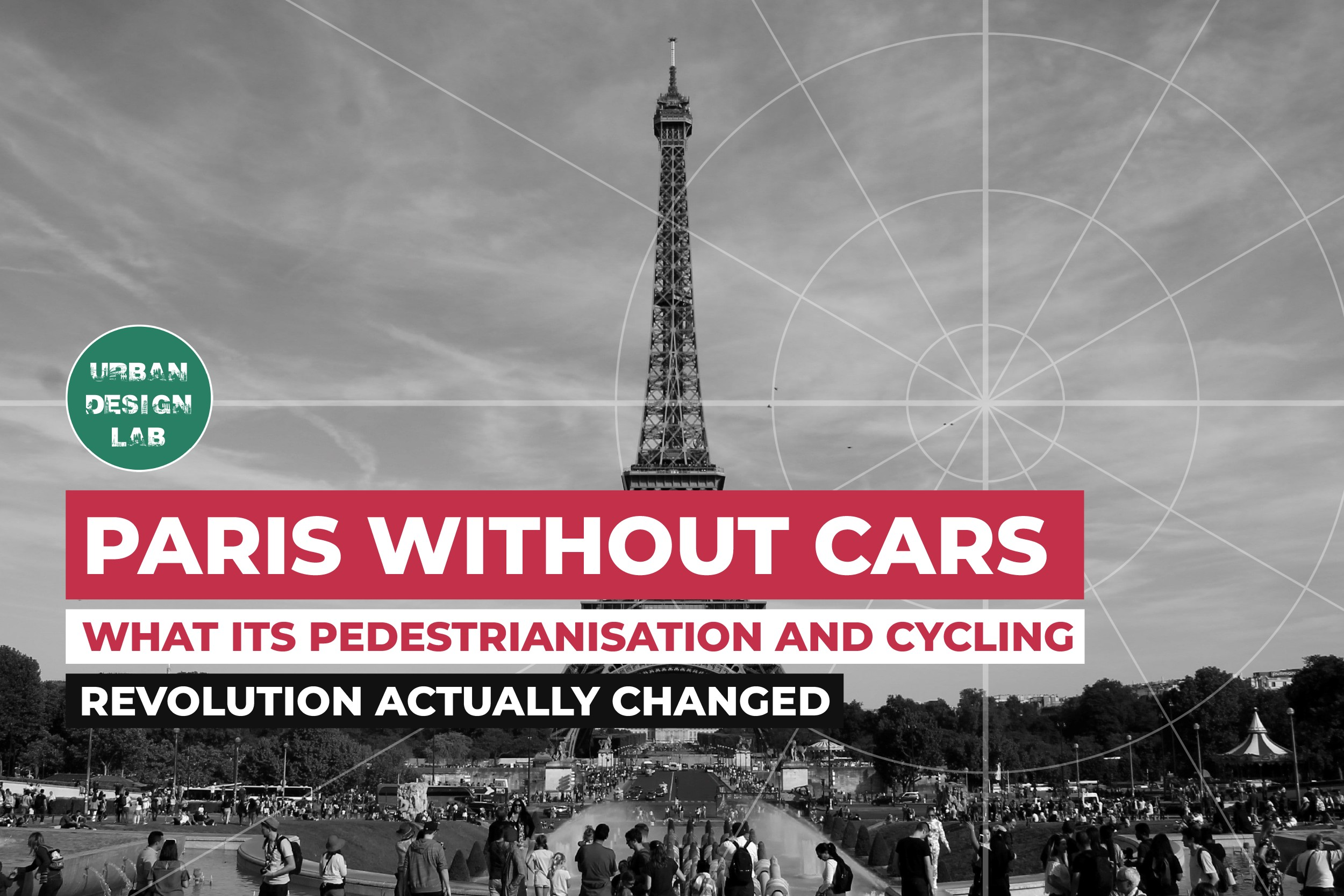
Paris has not become car-free in any literal sense. Cars, freight vehicles, taxis, emergency services and private mobility remain part of its daily operation. What has changed is more consequential: over roughly two decades, the city has steadily withdrawn the assumption that the private car should receive the largest and most continuous share of central street space. Riverside expressways have become promenades, Rue de Rivoli has been reallocated, cycle infrastructure has expanded at network scale, parking policy has tightened, and through-traffic is now regulated in Paris Centre.
This is often presented as a simple success story. The evidence supports a more disciplined conclusion. Paris shows that reducing motor-traffic priority can materially change street use, travel choices and local exposure to traffic pollution. It does not prove that every environmental improvement was caused by one municipal project, nor does it settle questions of freight, disabled access, pedestrian-cyclist conflict or suburban dependence on the car. Its relevant lesson is cumulative: street transformation works when access, regulation, public transport, cycling infrastructure and public space are reorganised together.
Paris Did Not Remove Cars It Reordered Access and Street Space
The transformation is best understood as a sequence of interventions, not a sudden revolution. The conversion of the Seine riverbanks is its most visible symbol. UNESCO records that the lower quays on the Left Bank were definitively closed to automobile traffic from 2014, followed by the Right Bank in 2016. The intervention was significant not simply because a roadway disappeared, but because former traffic infrastructure was reassigned to walking, cycling, recreation and civic use beside one of the world’s most important historic urban landscapes.
Source: UNESCO World Heritage Centre, Paris Banks of the Seine
A road closure, however, does not automatically reduce citywide traffic or pollution. It may transfer trips to adjacent corridors or orbital roads. That is why a serious assessment must distinguish changes on the redesigned street from changes across the transport system. The central question is whether vehicle kilometres, emissions, exposure and access changed at the relevant scale, rather than whether a formerly traffic-dominated place became visibly more attractive.
Paris’s subsequent measures moved from projects to a citywide logic of access management. Its 2021-2026 Plan Vélo committed to 180 km of new protected cycling routes. The city’s objective was not merely to install individual lanes, but to produce a connected network linking neighbourhoods, bridges, rail stations, schools, workplaces and commercial areas. This distinction matters because continuous and legible networks alter the feasibility of complete trips, while disconnected facilities often do not.
Source: City of Paris, A New Bicycle Plan for a 100 Percent Cyclable City
The Zone à Trafic Limité, introduced in Paris Centre on 5 November 2024, makes the same principle explicit. The zone does not prohibit all motorised movement. It prohibits through-traffic whose origin and destination are outside the zone while retaining access for residents, deliveries, emergency services, taxis, people with reduced mobility and other authorised users. The planning achievement is therefore not a blanket ban. It is a distinction between necessary access and circulation by shortcut.
Source: City of Paris, How the Limited Traffic Zone Works
Cycling Changed From a Marginal Option to a Serious Urban Mode
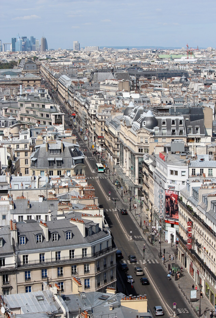
The clearest behavioural change is cycling’s increased role in everyday movement. Mobility-survey results reported for 2023 indicated that bicycles accounted for 11 percent of trips made by Parisians, compared with 9 percent by car. For journeys within Paris, the reported shares were 11 percent by bicycle, 4 percent by car, 53 percent on foot and 30 percent by public transport. These figures describe trips, not passenger kilometres, freight movement or the whole metropolitan region. Even so, they show that the bicycle is no longer a marginal recreational mode in the municipal core.
Source: The Times, Cyclists overtake cars in Paris
Infrastructure helps explain the shift, but cannot alone explain it. Paris’s compact form, mixed uses, pre-existing public transport and short trip distances provide conditions favourable to active travel. The Covid-19 period also changed risk perceptions, work patterns and public-transport use across Europe. Research covering 106 European cities found that each kilometre of temporary pop-up cycle lane was associated with a 0.6 percent increase in cycling, though the authors stress that this estimate belongs to a particular pandemic context. The Paris evidence is therefore best understood as a combined effect of network investment, temporary experimentation, changing demand and urban form.
Source: Kraus and Koch, Effect of Pop up Bike Lanes on Cycling in European Cities
The success of cycling has also created new design challenges. High demand produces crowding on popular corridors, conflict at junctions, insufficient parking and friction where walking and cycling share constrained space. These outcomes do not undermine the case for reducing car capacity. They show that cycling must now be designed as a high-volume transport system: with adequate width, intersection protection, continuous wayfinding, maintenance, loading management and clear pedestrian priority at crossings.
Pedestrianisation Changed the Function of Public Space
Pedestrianisation is frequently described as vehicle removal. In urban-design terms, its deeper effect is to change what a street is for. A carriageway planned primarily for throughput can become a place where stopping, crossing, meeting, sitting, trading and moving at walking pace are legitimate uses rather than interruptions to traffic. The riverbank projects demonstrate this shift particularly clearly. They changed the relationship between the city and the Seine by allowing public life and active travel to occupy land previously dedicated to fast motor circulation.
The limited-traffic zone extends that logic into the historic core. By restricting through-traffic, it aims to make central streets work more as local civic and commercial environments and less as an unpriced cross-city road network. This does not mean that every business automatically gains from pedestrianisation. Retail outcomes also depend on rents, retail type, delivery access, visitor patterns, public-transport reliability, local purchasing power and wider economic conditions.
Yet available evidence corrects the assumption that central retail depends mainly on driving. An Apur study cited by the City of Paris found that 88 percent of customers in the affected central area travelled on foot or by public transport. This does not predict the outcome for every individual trader. It does show that arguments based solely on immediate car access can misrepresent actual customer travel behaviour in dense historic centres. The relevant test is whether workers, customers, deliveries and essential users can reach destinations through the whole access system.
Source: City of Paris reporting Apur study on commerce and the ZTL
Air Quality Improved but the Causal Story Is Broader Than Street Design
Paris’s air-quality improvement is real, but it should not be credited exclusively to cycle lanes or pedestrianisation. Airparif reports that exposure to PM2.5 in Paris fell by 28 percent between 2012 and 2022. The City reports declines over the same period of 30 percent for fine particles and 45 percent for nitrogen oxides near road traffic. These trends are compatible with a combination of reduced traffic, cleaner vehicles, national and European emissions standards, low-emission policy, changes in heating emissions and weather. Because these processes overlap, a citywide trend cannot credibly be assigned to one street project without a counterfactual analysis.
Source: Airparif, How Air Quality Improved in Paris Between 2012 and 2022
Source: City of Paris, Paris Climate Plan
More recent monitoring provides a more precise indication of the limited-traffic zone’s effect. Airparif’s evaluation reports reduced traffic both within Paris Centre and on the surrounding routes examined, alongside an average fall of around 1 microgram per cubic metre in nitrogen-dioxide concentrations across the studied areas. Nitrogen dioxide is strongly connected to road traffic, so local reductions where traffic falls are plausible. Particulate pollution has more varied sources, including brake and tyre wear, heating, construction and regional pollution transport. Pedestrianisation can therefore reduce local exposure and improve street conditions, but it cannot substitute for wider emissions policy.
Source: Airparif, Limited Traffic Zone and Porte Maillot Effects on Air Quality
The Transformation Has Limits Metropolitan Equity Logistics and Governance
Paris’s municipal experience cannot be separated from its dense built form and extensive transit network. The City of Paris is a compact core within a much larger metropolitan region. A resident of an inner arrondissement and a commuter from the outer suburbs do not face the same travel distances, transit options, family commitments or car dependence. Policy transfer must recognise this difference. A central city can restrict through-traffic most fairly where credible alternatives exist. Metropolitan equity requires investment in orbital public transport, suburban cycling connections, station access and affordable mobility beyond the municipal boundary.
Freight and essential access are equally important. The ZTL’s exemption system acknowledges that deliveries, tradespeople, emergency services and people with reduced mobility cannot be treated as discretionary through-traffic. But exemptions alone are not enough. A car-light district needs timed loading, accessible drop-off areas, secure delivery bays, clear kerb rules, enforcement and, where practical, consolidation and cargo-cycle logistics. Design quality is measured not by the absence of vehicles in a photograph, but by the reliability of necessary access.
Governance is another central issue. Street reallocation creates visible losses as well as distributed benefits. Drivers lose routes, parking is reduced, merchants may fear delivery problems, and some residents experience detours. Research on pedestrianisation in European cities finds that support is shaped by lived experience, local context and perceived outcomes rather than by abstract approval of sustainable mobility. This makes monitoring and adaptation essential. Cities should publish traffic, safety, pollution and access outcomes, revise schemes where harm is demonstrated, and make the operational logic intelligible to users.
Source: Cortese et al, Pedestrianisation as a Step in a Societal Transformation
What Other Cities Should Learn From Paris
Paris is a powerful precedent, but it is not a template that can be copied mechanically. Its achievement lies in the coordinated reorganisation of access, rather than in one branded concept or isolated cycle lane. The first transferable principle is to make alternatives credible. Protected cycling, reliable public transport, walking-quality improvements and managed loading are not compensatory additions. They are the operational basis of reduced car dependence.
The second principle is to distinguish access from through-traffic. Historic centres can remain accessible without serving as shortcuts for cross-city driving. The third is to evaluate at the correct scale. A pleasant pedestrianised street is not enough if congestion, pollution or exclusion are merely displaced. Equally, a local traffic increase during a network reorganisation does not by itself invalidate a wider modal-shift strategy. Assessment needs origins and destinations, traffic volumes, street-level exposure, travel time, public-space use and distributional effects.
Finally, equity must be a design criterion, not an afterthought. Paris’s policies are most transferable where compact form, viable transit and short journeys give people a genuine alternative to driving. Cities with more dispersed development or weaker public transport should phase changes differently and invest beyond their showcase centres. The goal is not to make driving difficult for its own sake. It is to provide a safer, cleaner and more spatially efficient mobility system without withdrawing essential access from people who need it.
Conclusion
Paris has not eliminated cars. It has changed the hierarchy of movement and the meaning of central streets. Pedestrianisation and cycling infrastructure have shifted road space toward walking, cycling, public life and managed local access. Cycling has become a significant everyday mode, and recent monitoring indicates that the limited-traffic zone has reduced traffic and nitrogen-dioxide concentrations in the areas studied. The evidence does not justify the simplistic claim that every improvement was caused by pedestrianisation alone. Air quality, travel behaviour and urban vitality result from overlapping policies and wider social change. It does, however, show that the private car’s dominance is not a fixed condition of urban life. When a city systematically reallocates space, regulates through-traffic and provides workable alternatives, streets can serve a much wider public.
References Further Reading
- Airparif, Limited Traffic Zone and Porte Maillot Effects on Air Quality
- Airparif, How Air Quality Improved in Paris Between 2012 and 2022
- City of Paris, A New Bicycle Plan for a 100 Percent Cyclable City
- City of Paris, How the Limited Traffic Zone Works
- Kraus and Koch, Effect of Pop up Bike Lanes on Cycling in European Cities
- UNESCO World Heritage Centre, Paris Banks of the Seine
Related reading on Urban Design Lab: Top 10 Bicycle Infrastructure Case Studies; Top 10 Case Studies on Walkable and Socially Inclusive Public Spaces