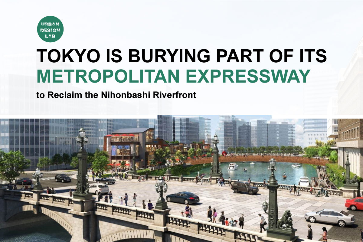


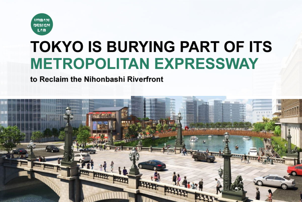
Tokyo is undertaking one of the most consequential pieces of infrastructure retrofitting in its historic core. Along the Nihonbashi River, a section of the Metropolitan Expressway that has occupied the airspace above the water since 1963 is being reconstructed partly underground. The official project extends for approximately 1.8 kilometres between the Kandabashi and Edobashi junction areas, with the underground route planned to open in fiscal year 2035 and removal of the existing elevated structures scheduled for completion in fiscal year 2040. Shutoko
Calling this simply a highway tunnelling project, however, understates its urban significance. Tokyo is using the unavoidable renewal of ageing road infrastructure to reconsider the relationship between transport, heritage, private redevelopment and one of central Tokyo’s historically important waterways. The Metropolitan Expressway project is being coordinated with five major redevelopment districts, new pedestrian spaces, riverfront promenades, water transport and a broader strategy to turn the Nihonbashi River back into a visible and usable element of the city. 三井不動産グループ
The project also raises more difficult questions. Burying a highway does not automatically create a successful waterfront. Water quality, public access, commercialisation, flood resilience, pedestrian continuity and long-term governance will determine whether Nihonbashi becomes a genuinely civic riverfront or primarily a landscape setting for high-value redevelopment. Nor is Tokyo following the same model as Seoul’s Cheonggyecheon, where an urban expressway was removed altogether. Tokyo intends to preserve metropolitan road capacity underground while liberating the space above.
The significance of Nihonbashi therefore lies in the combination of infrastructure renewal and urban restructuring. This article examines why the expressway is being moved underground, how the project is being engineered, what will replace the infrastructure above the river, how heritage is shaping the plan, what Boston and Seoul can teach Tokyo, and why the quality of the eventual riverfront will depend on decisions extending far beyond the tunnel itself.
Why Tokyo Is Undoing a Piece of Its Postwar Infrastructure
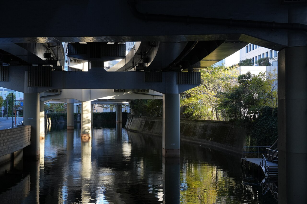
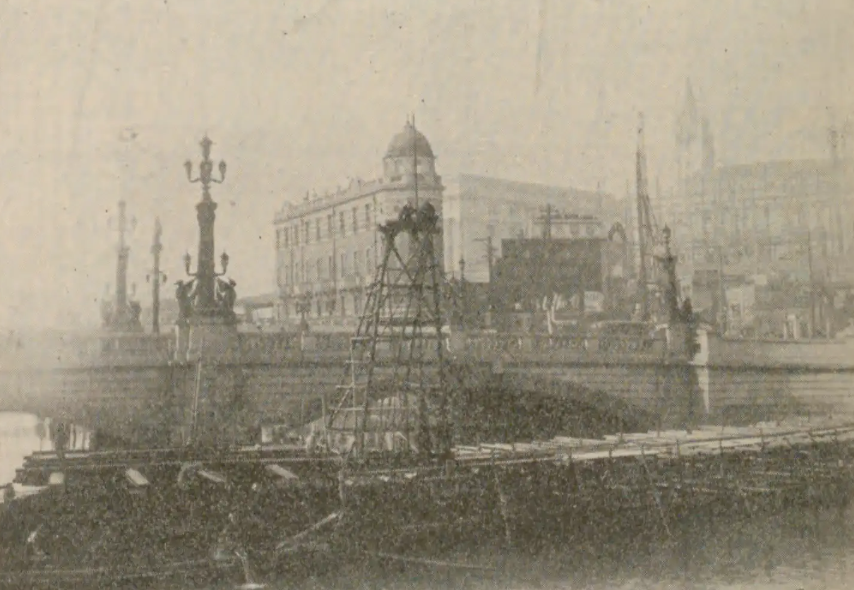
The Metropolitan Expressway over Nihonbashi is a product of a particular phase in Tokyo’s urban history. Japan experienced rapid motorisation from the 1950s, while central Tokyo faced chronic congestion and limited space for conventional road widening. The first Metropolitan Expressway section, between Kyobashi and Shibaura, opened in December 1962. The route above the Nihonbashi River opened on 21 December 1963, shortly before the 1964 Tokyo Olympics. To accelerate construction through an already densely developed city, parts of the expressway were built above rivers and existing public rights of way rather than through large-scale private land acquisition. Shutoko
This historical context matters because the elevated road was not simply an arbitrary planning mistake. It reflected the infrastructure priorities, institutional constraints and intense construction timetable of postwar Tokyo. Yet those same engineering decisions transferred substantial costs to the urban landscape. At Nihonbashi, the expressway came to occupy the space immediately above a historically important bridge and much of the river corridor.
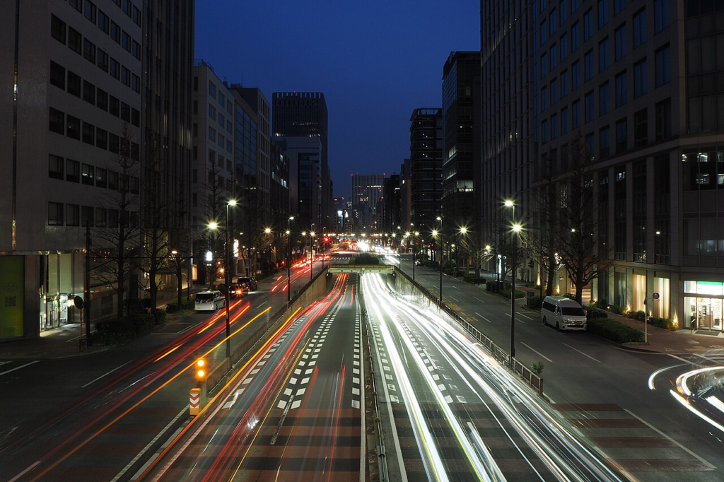
More than six decades later, physical deterioration has created a different infrastructure problem. Metropolitan Expressway states that approximately 100,000 vehicles use this section each day and identifies fatigue cracking around bearings, cracking in concrete decks and other accumulated structural damage. The company concluded that long-term safety required more fundamental renewal than continued incremental repair. Shutoko
The resulting undergrounding proposal brings two agendas together. The first is engineering renewal. The second is urban regeneration. Tokyo Metropolitan Government explicitly links undergrounding with improvements to urban landscape, environmental conditions and the redevelopment of Nihonbashi as an important central-city district. Tokyo Urban Development
This distinction is important. The project is not primarily an anti-car intervention. The Metropolitan Expressway is being reconstructed rather than abolished. Its transport function remains significant to central Tokyo, while its spatial relationship with the city is being changed.
The central planning proposition is therefore one of vertical redistribution. High-speed metropolitan traffic remains, but much of it is placed below the urban surface so that riverfront space, views, heritage relationships and pedestrian activity can occupy the levels above. Whether that trade-off represents an efficient model for other dense cities will depend partly on the enormous technical and financial capacity required to implement it.
A 1.8 Kilometre Tunnel That Is Really a Network Reconstruction
The scale of the project becomes clearer when its 1.8-kilometre length is broken down structurally. Metropolitan Expressway’s project documentation identifies approximately 1.1 kilometres of tunnel structure, about 0.4 kilometres of elevated structure and roughly 0.3 kilometres of retaining-wall structure within the overall intervention. The reconstructed route remains a four-lane urban expressway. Shutoko
The engineering challenge is intensified by the surrounding city. Nihonbashi is not an isolated transportation corridor where construction can proceed on cleared land. It is a dense central business district containing railways, underground utilities, roads, river structures, historic assets and redevelopment sites.
One of the project’s key planning mechanisms is Japan’s three-dimensional road system. Instead of treating a road parcel as an exclusively horizontal strip of land from ground to sky, the system allows the legally defined road volume to occupy a specified vertical zone. Metropolitan Expressway explains that this allows tunnels to pass beneath redevelopment sites while buildings can be constructed above them, making the highway project and private urban development physically interdependent. Shutoko
The reconstruction also reaches beyond the Nihonbashi tunnel itself. The approximately 1.1-kilometre Shin-Kyobashi Connecting Route is being developed between the Tsukijigawa section of the Inner Circular Route and the Yaesu Route. Tokyo states that the new connection is required because the existing Inner Circular Route connection at Edobashi Junction, an important route for larger vehicles, will disappear as part of the Nihonbashi restructuring. Tokyo Metropolitan Government
The construction sequence reveals the extent to which the city-centre road network is being reorganised rather than simply buried. Preparatory removal of entrances and exits was substantially completed by March 2024. A long-term closure of the Yaesu Route began at 20:00 on 5 April 2025, and the Tokyo Expressway, commonly known as the KK Line, was largely closed to automobile traffic at the same time. Tokyo plans to repurpose the KK Line itself as a pedestrian-oriented public space. Tokyo Urban Development
The official timetable currently targets fiscal 2035 for the underground route to open and fiscal 2040 for completion of viaduct removal. Metropolitan Expressway explicitly notes that these dates remain planned targets and may change according to construction progress. Shutoko
That long chronology is not incidental. For urban designers, the construction period is itself part of the project. Maintaining access, pedestrian movement, business continuity and riverfront activity for more than a decade will influence public perception long before the finished landscape emerges.
The Riverfront, Not the Tunnel, Is the Larger Urban Project
The strongest argument for the Nihonbashi scheme becomes visible only when the expressway project is considered together with surrounding redevelopment.
Five redevelopment districts along the river and their surroundings are being coordinated through an initiative promoted as Nihonbashi River Walk. According to the organisations involved, the combined redevelopment zones cover approximately 11 hectares. The planned river-oriented space and pedestrian network extends for roughly 1,200 metres, with an overall width of about 100 metres when the width of the river is included. 三井不動産グループ
The important urban design shift is one of orientation. Much of the twentieth-century built environment treated the river as a residual infrastructural corridor. Future development is intended to face it. Plans include waterfront terraces, pedestrian connections, plazas, mixed-use development and stronger links between the river, Nihonbashi and the Tokyo Station area. 三井不動産グループ
This is not a single developer’s project. An area-management body was established on 1 April 2025 to coordinate the five redevelopment areas and promote integrated management of newly created spaces. The stated partners include national government, Tokyo Metropolitan Government, Chuo Ward, Metropolitan Expressway, private developers and local stakeholders. 三井不動産グループ
Tokyo’s public policy framework has also become more explicit. A metropolitan government basic policy adopted in July 2025 defined a long-term vision of creating a new “water city” centred on the Nihonbashi River. In April 2026, Tokyo adopted a more detailed implementation policy organised around four Japanese concepts broadly corresponding to cleaning the river, connecting spaces, enabling gathering and generating new activity. Tokyo Metropolitan Government
By July 2026, Tokyo had also selected the name “Tokyo Water Corridor” for the broader walkable waterside and surrounding spaces after receiving 793 submissions during a public naming process. The concept describes the river and connected streets as a corridor through which water, history, greenery and urban life can be experienced together. Tokyo Urban Development
The distinction between infrastructure removal and place creation is crucial. Demolishing columns and decks will produce physical openness, but it will not automatically produce an urban riverfront. That requires continuous routes, access points, active ground floors, places to sit, universal accessibility, shade, night-time safety, river transport and spaces that do not require commercial consumption.
The project’s eventual success should therefore be judged less by the absence of the expressway than by the everyday quality of the public realm that replaces its dominance.
Nihonbashi Is Also a Heritage Project About What the City Chooses to Reveal
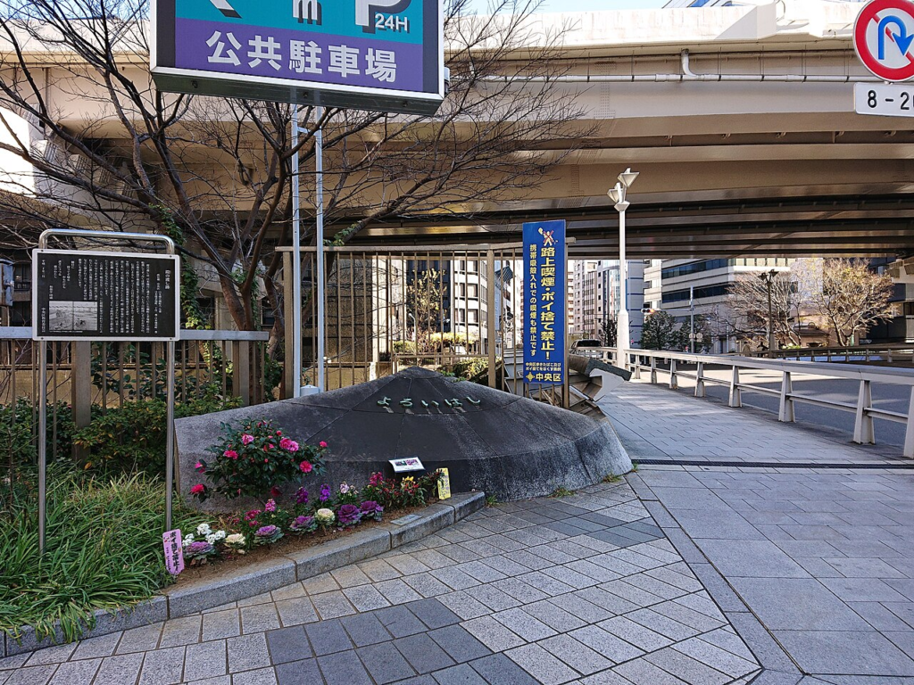
The symbolic importance of the project is concentrated around Nihonbashi Bridge.
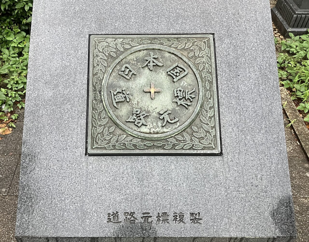
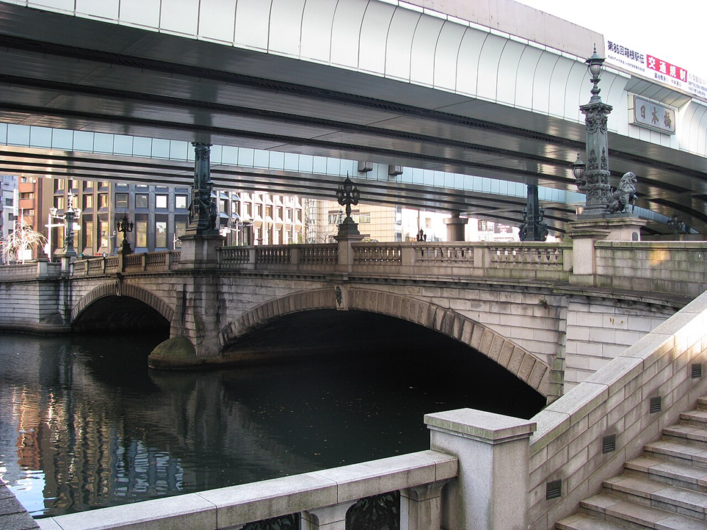
The present stone bridge was completed in 1911. Japan’s Agency for Cultural Affairs describes it as a two-span stone arch bridge, 49 metres long and 28 metres wide, and identifies it as the origin point of Japan’s national road system. It was designated an Important Cultural Property in 1999. Cultural Heritage Online
The conflict between the bridge and the expressway is therefore unusually legible. One infrastructure represents the historical geography of national roads. Another represents twentieth-century metropolitan mobility. They occupy almost the same visual space.
Removing the elevated expressway will dramatically alter the bridge’s setting. Metropolitan Expressway explicitly frames the final project phase as returning blue sky to the Nihonbashi River. When viaduct removal is completed, the structure currently occupying the bridge’s overhead view will disappear. Shutoko
It would nevertheless be misleading to describe this as the restoration of an authentic historical landscape. The surrounding city has changed repeatedly since the Edo and Meiji periods, and the new riverfront will be framed by contemporary towers, mixed-use complexes, hotels, offices and commercial spaces. Tokyo is not reconstructing an earlier Nihonbashi. It is selectively recovering one historical spatial relationship, the visual and civic prominence of bridge and river, within a new metropolitan landscape.
That makes the project relevant to a wider debate in heritage-led urban design. Heritage is not confined to preserving individual objects. The spatial context in which an object is encountered can determine whether its historical importance remains understandable.
The decision to remove the overhead road consequently changes more than a view. It reorders the hierarchy of urban elements. The bridge, river, sky and pedestrian realm gain visual importance while the expressway becomes largely invisible.
That inversion is perhaps the most profound symbolic dimension of the project. A piece of infrastructure once celebrated as evidence of metropolitan modernisation will remain operational, but will no longer dominate the public image of the place.
Boston Shows What Highway Undergrounding Can Unlock
The closest international comparison is not a perfect one, but Boston’s Central Artery project offers an important lesson.
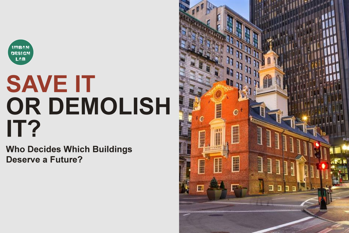
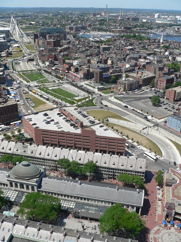
Boston moved its elevated Central Artery into a tunnel as part of the Central Artery/Tunnel Project, widely known as the Big Dig. The removal of the elevated roadway created the possibility of reconnecting neighbourhoods and developing what became the Rose Kennedy Greenway. The US Federal Highway Administration describes the resulting greenway as extending approximately 1.25 miles and containing significant parkland, promenades, plazas, gardens and public activity spaces above the tunnel infrastructure. Federal Highway Administration
The relevant lesson for Tokyo is not that tunnelling automatically produces urban vitality. It is that the removal of an elevated transport barrier creates a new category of planning responsibility.
Once a highway becomes invisible underground, the surface is no longer residual transport space. It becomes valuable urban land whose design, programming and governance determine whether the enormous infrastructure investment generates wider public benefit.
Boston also demonstrates why physical reconnection matters. An elevated highway does not occupy only the width of its columns. Noise, ramps, visual obstruction and difficult crossings can generate a much wider zone of spatial separation. Removing the structure can therefore change movement patterns and perceptions across a district.
Nihonbashi has a somewhat different geometry. The expressway follows a river corridor rather than cutting through precisely the same type of surface street fabric as Boston’s former Central Artery. Yet the principle remains applicable. Removing the overhead roadway creates opportunities to reconnect buildings with water, improve sightlines and redesign routes perpendicular as well as parallel to the river.
There is also a warning. High-quality urban outcomes require long-term management after construction is completed. Public landscapes need maintenance, cultural programming, clear responsibilities and stable funding.
Tokyo’s decision to establish a dedicated area-management organisation before completion may help address that issue. However, because Nihonbashi’s redevelopment includes major private commercial interests, governance will need to preserve the distinction between publicly accessible waterfront space and privately controlled destinations.
Boston shows that burying infrastructure can produce an extraordinary spatial opportunity. It does not prove how that opportunity will be distributed.
Seoul Shows a More Radical Model of River Restoration
Seoul’s Cheonggyecheon is often invoked whenever cities discuss removing elevated highways from waterways, but the comparison with Nihonbashi needs to be made carefully.
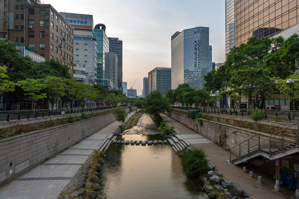
The Cheonggyecheon restoration project was implemented between July 2003 and September 2005. Seoul Metropolitan Government records a restoration area extending 5.84 kilometres through the city centre. The project removed road infrastructure covering the stream and demolished elevated expressway structures before creating a new linear water and pedestrian landscape. Seoul Metropolitan Government
Nihonbashi takes a less radical transport approach.
Tokyo is not eliminating the metropolitan expressway corridor. It is preserving its mobility function underground. The difference is fundamental. Cheonggyecheon’s spatial transformation was connected to the removal of substantial automobile infrastructure from the corridor itself. Nihonbashi instead seeks to separate automobile movement vertically from the riverfront public realm.
This makes Tokyo potentially more transferable to very dense metropolitan centres where governments are unwilling or unable to abandon strategically important road links. It also means that some of the broader arguments associated with highway removal, such as reducing urban road capacity or explicitly shifting travel behaviour, cannot simply be attributed to Nihonbashi.
What Tokyo can learn from Seoul concerns the treatment of water as urban space.
Cheonggyecheon became more than a drainage channel or visual amenity. It was designed as a longitudinal public environment in which people could walk close to water, cross frequently between opposite sides and experience the corridor as part of everyday central-city life.
Nihonbashi’s existing physical condition is different. Flood-control infrastructure, hard river edges, bridge structures and dense development constrain direct access to the water. Creating a successful waterfront will therefore require careful transitions between street, promenade and river level rather than merely opening views from above.
The comparison also exposes a limitation in visually driven regeneration narratives. Blue sky is valuable, but sky alone does not make a riverfront socially or ecologically functional. What matters is the combination of water quality, access, shade, habitat, pedestrian continuity, flood management and the ability to occupy the edge without having to purchase something.
Seoul should therefore be read as a design precedent, not as evidence that Tokyo will reproduce the same outcomes.
The Hardest Work Begins After the Viaduct Disappears
The removal of the elevated expressway is visually dramatic, but several less visible problems will determine whether Nihonbashi’s transformation succeeds.
Water quality is among the most important. Chuo Ward’s planning documents identify the need to improve the Nihonbashi River through measures including improvements to combined sewer systems, temporary storage facilities, rainwater management and investigation of additional water-treatment technologies. The ward’s waterfront planning also calls for promenades, decks, river-oriented buildings and spaces where people can experience the water more directly. 中央区
Tokyo’s more recent policy framework continues to identify water-quality improvement as a core part of riverfront revitalisation. The metropolitan government expects the implementation framework to be reviewed in fiscal year 2028 and subsequently updated roughly every three to five years as redevelopment advances and water-quality modelling improves. Tokyo Urban Development
This adaptive approach is appropriate because the relationship between redevelopment and river recovery is not mechanically predictable. Removing an expressway can improve daylight and visual conditions, but it does not by itself resolve sewer discharges, ecological fragmentation or hydrological constraints.
Publicness is another challenge.
The redevelopment programme is introducing major commercial and hospitality functions. The first phase, now branded Tokyo Midtown Nihonbashi, includes offices, retail, a luxury hotel, residences and large event facilities, alongside waterfront terraces and promenades. 三井不動産グループ
None of this proves that the future riverfront will be exclusive. Mixed-use density can strengthen activity and help finance urban improvements. But it creates an important governance question: will the most attractive parts of the river become civic spaces available across income groups and time periods, or primarily curated environments associated with commercial development?
That question should be assessed through measurable design and management criteria. Continuous public access, universal accessibility, seating without purchase requirements, shade, free gathering spaces, night-time access, multiple river entrances and connections to ordinary streets should matter as much as architectural quality.
Transport integration must also extend beyond the expressway. Nihonbashi has begun rebuilding its relationship with water transport, including new passenger-vessel initiatives between Nihonbashi and Toyosu announced in 2026. 三井不動産グループ The long-term opportunity is to connect walking, metro access, rail, river transport and public space rather than treating the regenerated river as an isolated recreational strip.
The project will ultimately succeed only if the river becomes part of everyday Tokyo rather than a spectacular frontage to redevelopment.
Conclusion
Tokyo’s Nihonbashi project is best understood not as a tunnel with landscaping above it, but as an attempt to renegotiate the relationship between metropolitan infrastructure and central-city public space.
The verified infrastructure programme is substantial: approximately 1.8 kilometres of expressway are being reconstructed, the underground route is planned to open in fiscal 2035, and removal of the existing elevated structures is targeted for fiscal 2040. The project is being coordinated with five redevelopment districts, an approximately 1,200-metre river-oriented pedestrian network and wider metropolitan policies for waterfront regeneration. Shutoko
Its deeper significance lies in what Tokyo is choosing to make visible. The expressway will continue carrying metropolitan traffic, but much of that infrastructure will move below the surface. Nihonbashi Bridge, the river, sky and pedestrian environment will regain spatial prominence.
That is an important shift, but it is not sufficient evidence of successful urban regeneration. The quality of Nihonbashi will depend on water quality, ecological performance, continuous public access, flood resilience, pedestrian connections and governance of spaces produced through public and private investment.
Boston demonstrates the public-space possibilities created by highway undergrounding. Seoul demonstrates the transformative potential of treating a water corridor as central urban space. Tokyo is pursuing a third model: retain strategic road infrastructure, move it underground, and use the released urban space to restructure an entire riverfront district.
For other global cities burdened by ageing twentieth-century infrastructure, that may be the most important lesson from Nihonbashi. Infrastructure renewal can be treated as a narrowly technical obligation, or it can become an opportunity to reconsider which elements of the city deserve priority at ground level.
Tokyo has chosen the second path. The tunnel will determine whether the expressway works. The riverfront will determine whether the city has gained something larger.
References / Further Reading
- Metropolitan Expressway Co., Ltd., Metropolitan Expressway Nihonbashi Section Underground Relocation Project: Project Overview. Official project overview
- Metropolitan Expressway Co., Ltd., Nihonbashi Section Underground Relocation Project Pamphlet. Official project pamphlet
- Tokyo Metropolitan Government, Bureau of Urban Development, Undergrounding of the Metropolitan Expressway Coordinated with Urban Development Around Nihonbashi. Tokyo Metropolitan Government project page
- Tokyo Metropolitan Government, Implementation Policy for Creating Vibrancy Around the Nihonbashi River, Version 2, April 2026. Tokyo Metropolitan Government policy announcement
- Agency for Cultural Affairs, Japan, Nihonbashi, Important Cultural Property. Cultural Heritage Online entry
- Mitsui Fudosan and Nihonbashi River Walk partners, Create a New Face for Tokyo as a Waterfront City Through a Joint Public-Private-Community Initiative, 11 June 2025. Nihonbashi River Walk announcement
- Chuo City, Nihonbashi Riverside Area Urban Development Vision 2021. Chuo City planning document
- Federal Highway Administration, The Rose Kennedy Greenway, Freeway Cap Park, Boston, Massachusetts. FHWA project profile
- Seoul Metropolitan Government, Cheonggyecheon Stream Restoration Project. Seoul Metropolitan Government project page
Related reading on Urban Design Lab: India’s National Water Metro Policy Could Transform Transport in River Cities; Paris Without Cars What Its Pedestrianisation and Cycling Revolution Actually Changed