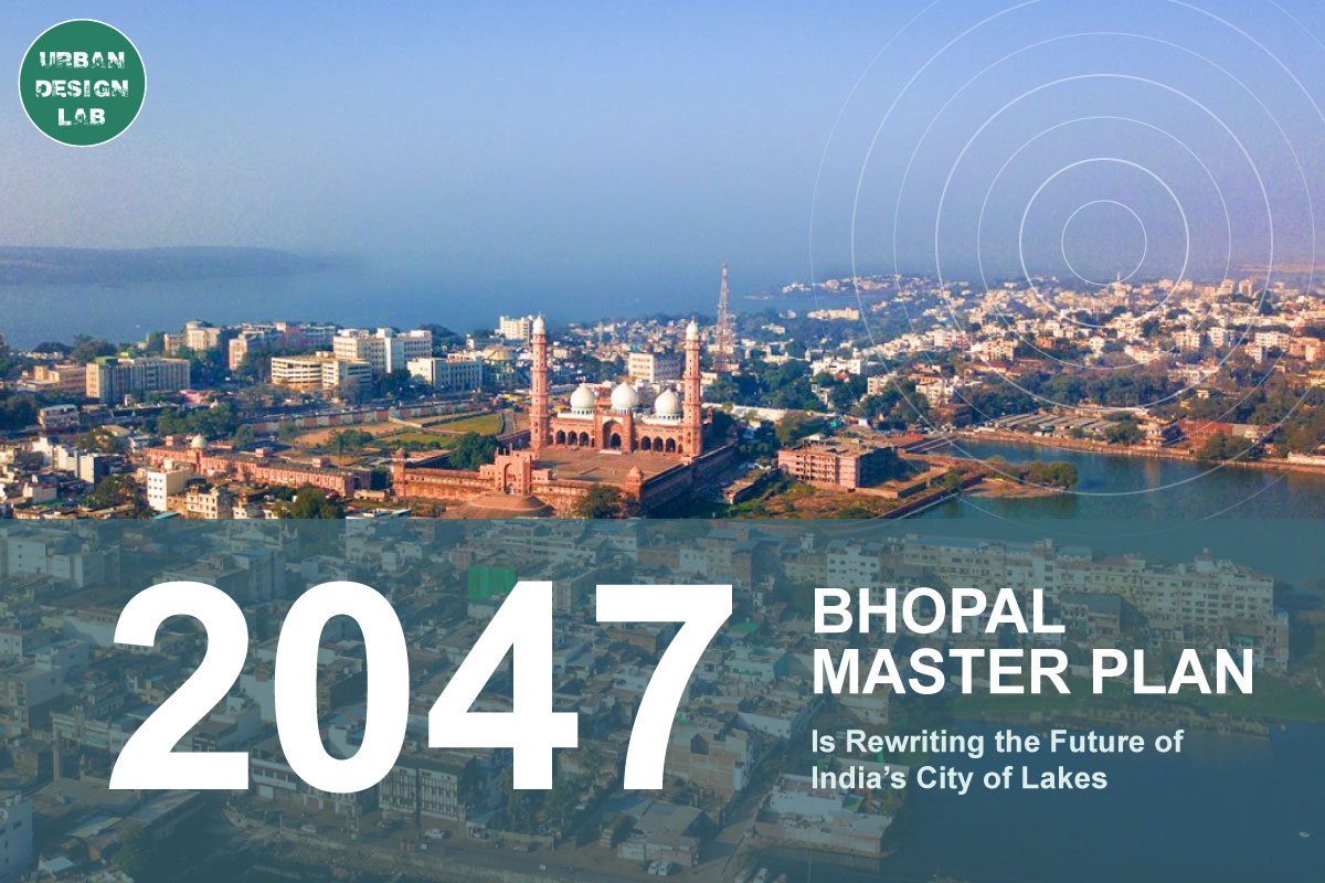


A city’s future is shaped partly by what its development plan permits and partly by what it protects. In Bhopal, the relationship between these decisions is especially consequential. The emerging planning framework must accommodate housing, employment and transport while safeguarding the landscapes around which the city has developed. Its central challenge is therefore not simply to identify more land for construction. It is to establish where growth is appropriate, which environmental limits should govern it, and how public investment can make that growth accessible.
The immediate context is the publication of the Bhopal Development Plan 2047 draft, whose documents, maps and consultation channels are listed on the Bhopal district administration’s official website. As checked on 6 October 2026, that official listing identifies the document as a draft. It should not be presented as a completed transformation or a final, fully implemented planning regime. India
Nevertheless, the draft warrants close attention. Its proposals connect development corridors, environmental zoning, transferable development rights and digital monitoring. Read together, they suggest an attempt to change how Bhopal manages urbanisation.
The argument developed here is that the plan’s significance rests on whether these instruments can work together. Development intensity must follow infrastructure capacity; lake protection must extend beyond waterfront appearance; and new economic districts must connect with existing communities. Otherwise, an ambitious spatial framework could produce fragmented projects rather than a coherent city.
Source note: The official document listing was verified directly. Because its linked plan PDF was unavailable during research, detailed provisions were examined in a publicly accessible reproduction of the government’s Hindi draft. Section references below identify that document. Proposed provisions remain subject to consultation, correction and final approval.
A New Planning Horizon Must Resolve an Old Governance Problem
The strongest reason to take Bhopal’s new draft seriously is the documented weakness of its previous planning process. The Comptroller and Auditor General of India’s report on town and country planning records that, as of February 2025, Bhopal continued to rely on its outdated Development Plan 2005. The audit criticised prolonged non-finalisation and argued that committee-based decisions could not substitute for a timely development plan addressing stakeholder concerns. These are findings about the period examined by the audit, rather than a description of the subsequent draft’s legal status (CAG, Management of Town and Country Planning, Chapter II). cag.gov.in
The new planning horizon therefore presents an institutional opportunity. A public framework can make the relationship between land-use permissions, infrastructure commitments and environmental restrictions more intelligible. Its value depends on whether these decisions become more predictable and open to scrutiny.
Two distinctions are essential when interpreting its scale.
First, the draft describes a planning area of 1,016.90 square kilometres covering 254 villages, but its historical account associates that extent with an earlier planning-area expansion. It would be misleading to describe all these villages as newly incorporated through the 2026 draft. The planning boundary must also be distinguished from the municipal boundary and the continuously built-up city (draft, Section 1.3.4).
Second, the draft uses 4.5 million people as its population projection for 2047. This is a planning assumption, not a current population count or a guaranteed demographic outcome (draft, Section 3.7).
The practical implication is that infrastructure should be phased against observed demand. A long-term population projection can justify reserving land, but it cannot by itself establish when every road, development parcel or service extension should be delivered.
An appropriate implementation programme would distinguish between immediate service deficits, development likely to materialise in the medium term, and land reserved for uncertain future requirements. It should also explain what happens if population growth, household formation or employment differs from the assumed trajectory.
This approach would make the plan more adaptable without making it arbitrary. Predictable rules and periodic evidence-based review can coexist, provided revisions are publicly documented and their consequences are assessed.
Protecting the Lakes Requires More Than a Green Percentage
The draft’s environmental provisions deserve a closer reading than a headline about increasing greenery.
Its land-use table assigns 24.09% to grouped green categories and 2.94% to an environmentally sensitive zone, together approximately 27.03%. Crucially, these percentages use the table’s 61,017.03-hectare subtotal, rather than the entire 101,690-hectare planning area. The remaining area is tabulated separately under water-related and agricultural categories (draft, proposed land-use table, printed pages 110–111).
Consequently, “27% green” should not be interpreted as a measurement of existing tree canopy across the whole planning region. It is a proposed allocation within a particular classification and denominator. Comparisons with earlier plans also require equivalent boundaries and categories.
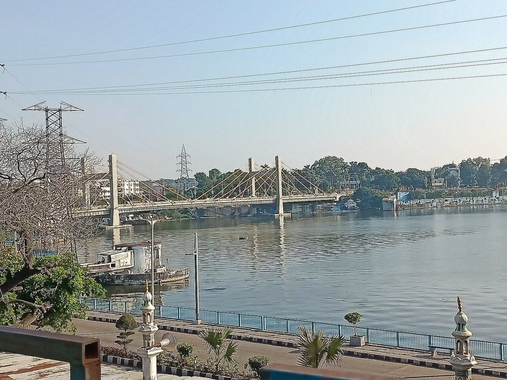
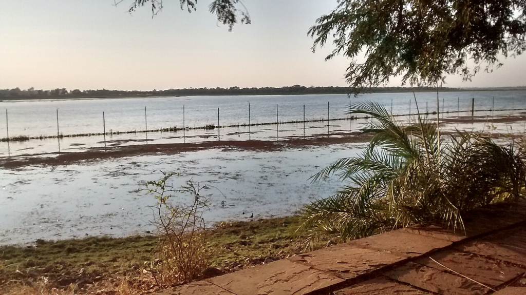
The more substantial environmental question concerns how the draft regulates the lake system. It distinguishes Bhojtal Influence Zones BIZ-0, BIZ-1 and BIZ-2, covering the lake’s full-tank-level area, adjoining sensitive buffers and the wider influence area. Its provisions also recognise watercourses and require development near the proposed southern promenade to avoid obstructing natural flows into Bhojtal (draft, Section 15.25).
This is a more useful planning direction than treating lake conservation as an isolated waterfront project. The appropriate assessment unit should include the processes bringing water, sediment and pollutants towards the lake.
There is already an environmental regulatory context. The Ministry of Environment, Forest and Climate Change states that the Wetlands Rules restrict activities including solid-waste dumping and untreated effluent discharge, and records a Madhya Pradesh order enforcing those rules at Bhoj Wetland (MoEFCC parliamentary response on Bhoj Wetland). Press Information Bureau
The analytical implication is that planning permissions and wetland management must be assessed together. A land-use designation should not be assumed to settle every environmental question affecting a site.
The draft also proposes green transferable development rights. Under the described mechanism, eligible land transferred to the local body would generate development-right certificates, while the transferred land would become wooded area under local-body responsibility (draft, Section 15.5, provision on green TDR).
This mechanism should be evaluated at both ends. The receiving location must accommodate additional development, while the protected land must actually be secured, maintained and monitored. Issuing a certificate is an administrative output. Establishing a functioning, protected landscape is the environmental outcome that matters.
The Growth Corridor Must Deliver Accessibility Alongside Development
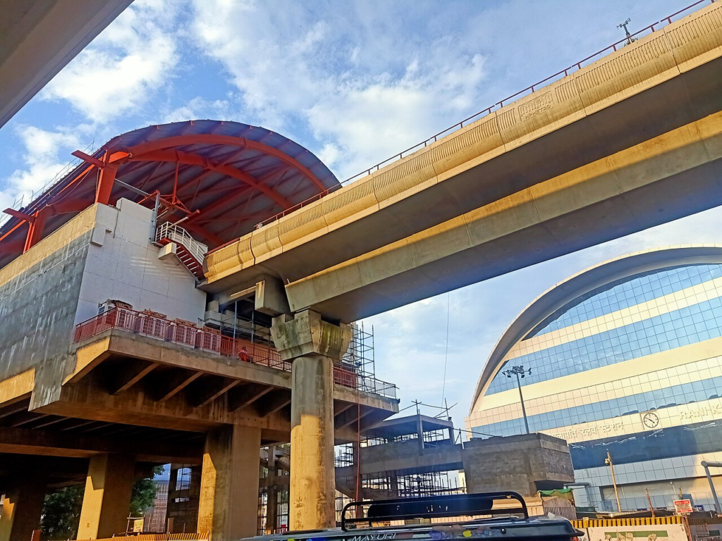
One of the draft’s most consequential proposals is a 51-kilometre growth corridor between Narmadapuram Road and Indore Road. Section 15.14 describes a proposed 75-metre road reservation with higher-density mixed development extending 300 metres on each side. It also provides for mass rapid transit, service roads and planting within the corridor concept (draft, Section 15.14).
This is a proposal for reorganising urban activity around infrastructure. Its success should therefore be evaluated through access to employment and services, rather than road length or construction volume alone.
A corridor can contain substantial development yet remain difficult to use without a private vehicle. The key questions concern the location of public-transport stops, the continuity of footpaths, crossing opportunities, feeder services and the arrangement of destinations. These should be resolved before individual developments establish disconnected access arrangements.
The World Bank’s work on transit-oriented development offers a relevant assessment framework. Its “3V” approach considers transport connectivity, the quality of the surrounding place and market potential together. It cautions against applying identical development expectations across an entire network (World Bank, Transforming the Urban Space Through Transit-Oriented Development). worldbank.org
Applied to Bhopal, this suggests a differentiated corridor strategy. Locations with strong interchange potential may warrant a different development mix from environmentally constrained stretches or areas with weak demand. Uniform development intensity would require evidence that these differing conditions can support it.
The corridor proposal must also be distinguished from the existing metro project framework. The European Investment Bank describes its Bhopal investment as supporting two metro lines totalling 31 kilometres and 30 stations. Those figures describe the financed project’s scope, not proof that the entire network is operational or that the proposed growth corridor already has equivalent service (EIB, Bhopal Metro Rail Project). eib.org
The strongest implementation sequence would link development permissions to a clear transport-delivery programme. Early phases should demonstrate how people will reach jobs, education and healthcare from the day premises become occupied.
Evaluation should include door-to-door travel time, fares, service frequency, safe crossings and accessibility for people with disabilities. These measures would reveal whether the corridor is producing useful urban connections.
The plan offers a spatial opportunity. Whether it becomes transit-oriented urbanism will depend on the services and street environments delivered within that space.
Housing and Everyday Livelihoods Must Shape the New Urban Economy
The draft proposes developing the area around Bhauri’s education hub as an Education, Knowledge and Artificial Intelligence City, with implementation through a town-development scheme (draft, Section 15.30).
This establishes a proposed spatial and institutional direction. It does not establish how many firms will arrive, which occupations will grow, what wages will be available or how much housing different workers will need. Those outcomes require additional economic evidence.
A defensible employment strategy would therefore test several scenarios. Education-led growth may generate demand for student accommodation and rental housing. Research activity may create different requirements for laboratories, offices and specialist services. Construction, maintenance, retail and domestic work introduce further housing and mobility needs. These are questions for assessment, not employment forecasts.
Housing provision should be evaluated alongside this occupational diversity. The World Bank’s TOD analysis recognises that improved accessibility can increase property values and create displacement pressures, while affordable housing provisions can help retain access across income groups (World Bank, The 3V Approach).
For Bhopal, an appropriate affordability test would consider housing costs together with transport expenditure and access to services. A cheaper dwelling should not automatically be classified as a better option if its location creates an unaffordable daily journey.
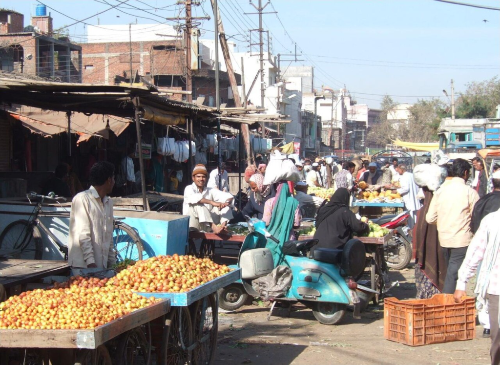
The same principle applies to mixed land use. Permitting multiple activities within an area is only the beginning. Detailed plans should establish how shops, homes, deliveries, pedestrians, service vehicles and public space can coexist.
Street width can inform this assessment, but it should not become a complete substitute for understanding activity. A small neighbourhood shop and a large destination business may generate very different servicing and movement requirements. Local regulation should respond to those differences.
The EIB’s Bhopal metro documentation also acknowledges land acquisition and involuntary resettlement within that project’s assessment. This demonstrates why transport investment must be examined for distributional effects alongside its expected benefits (EIB project documentation).
The broader planning implication is to evaluate who gains accessibility and who bears disruption. Where redevelopment or infrastructure affects existing residents and businesses, assessment should address tenure, replacement premises, livelihood continuity and access to customers.
A successful new economic district should strengthen opportunities across the urban population. Its performance cannot be inferred from its name, land allocation or architectural ambition.
Singapore Offers a Useful Lesson in Designing Water and Public Space Together
An international comparison is useful when it clarifies a mechanism that Bhopal can evaluate locally. Singapore’s Bishan–Ang Mo Kio Park provides such a case.
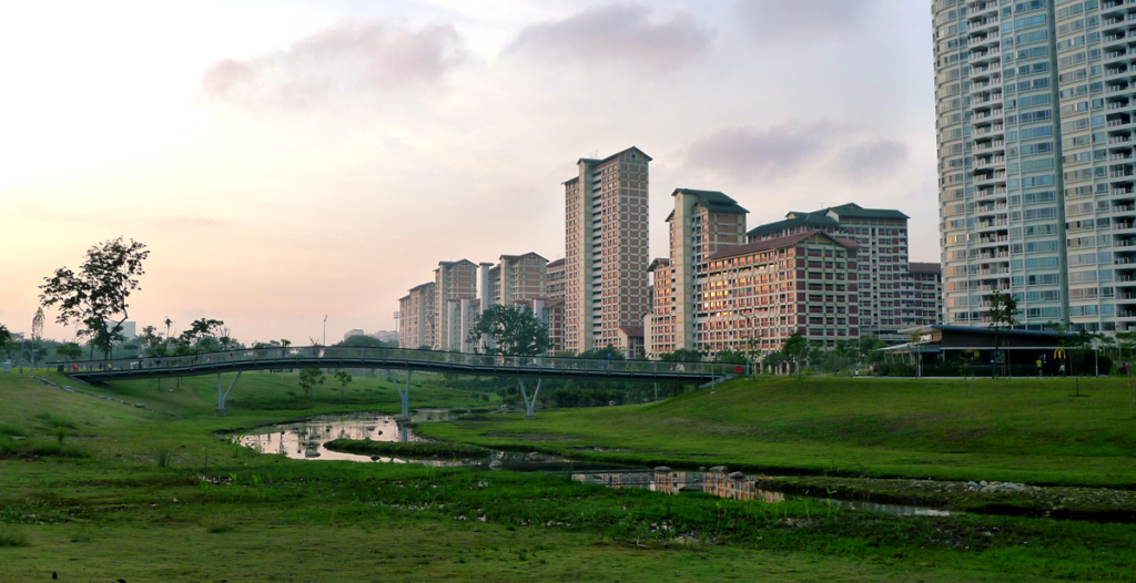
Singapore’s National Parks Board documents the replacement of a concrete canal with a naturalised section of the Kallang River under the Active, Beautiful, Clean Waters programme. Its account also describes river monitoring, warning systems and other safety measures responding to rising water levels (NParks, Naturalised River at Bishan-Ang Mo Kio Park). nparks.gov.sg
The transferable lesson concerns the coordination of landscape design, water behaviour and public use. An attractive river landscape does not remove the need to understand flood conditions or manage access during hazardous periods.
For Bhopal, this comparison is especially relevant to evaluating proposed recreational interventions near Bhojtal. The draft’s own requirement to preserve natural flows provides a starting point, but detailed design should demonstrate how that requirement will be met.
A proposal should explain where runoff enters, how paths cross drainage lines, which surfaces remain permeable, how maintenance equipment gains access and what happens during exceptional water levels. Public-space quality and hydrological performance should be assessed together.
The comparison has clear limits. A naturalised river within a managed urban park is not equivalent to Bhopal’s lake and wider influence area. Differences in catchment conditions, settlement patterns, institutions and maintenance capacity prevent straightforward replication. The Singapore example provides questions to ask, rather than a ready-made design to import.
It also suggests a more rigorous approach to visual evaluation. Before-and-after photographs can document physical change, but they cannot independently establish improvements in water quality, flood performance or biodiversity. Those claims require monitoring appropriate to each outcome.
For Bhopal, a useful project brief would combine public access objectives with measurable environmental responsibilities. It should specify the agency responsible for maintenance, the evidence required before construction and the indicators to be reviewed after completion.
This would make landscape investment easier to evaluate. A promenade could then be judged through its ecological compatibility and public usefulness, rather than the appearance of its paving, lighting or viewing platforms alone.
Implementation Needs Public Accountability as Well as Digital Monitoring
The draft proposes a Bhopal Digital Twin City integrating information on land use, plots, buildings, transport, infrastructure, drainage, environmental assets and population. It envisages monitoring and scenario assessment, with responsibility assigned to Bhopal Municipal Corporation and support from Bhopal Development Authority (draft, Section 16.9).
Such a system could help identify conflicts between development proposals and infrastructure capacity. Its usefulness would depend on data quality, update frequency and the ability of institutions to act on the findings.
The relevant distinction is between displaying the city digitally and improving decisions about it. A detailed model can still contain outdated service information, uncertain property boundaries or assumptions that are invisible to the public. Technical sophistication should therefore be accompanied by documented data sources and uncertainty.
The strongest application would make consequential decisions traceable. When additional density is permitted, the public should be able to understand the infrastructure assessment supporting it. When an environmental restriction changes, the evidence and approval process should be identifiable. When a project is delayed, its funding and delivery responsibilities should remain visible.
This approach aligns with UN-Habitat’s emphasis on linking spatial planning with implementation, monitoring and access to urban information (International Guidelines on Urban and Territorial Planning). unhabitat.org
Bhopal could translate that principle into an implementation programme organised around specific commitments. Each major intervention should identify the responsible agency, funding status, prerequisite works, delivery stages and measurable outcomes.
For lake-related interventions, reporting should distinguish land secured from ecological performance achieved. For transport, it should distinguish infrastructure completed from useful services provided. For housing, it should distinguish permissions granted from occupied homes accessible to the intended population.
Public consultation also needs an observable connection to decisions. The district administration provides channels for objections and suggestions on the draft (official consultation listing). The next accountability test is how those submissions are considered.
A published response record could identify the issue raised, the evidence examined and the reason for accepting or rejecting a proposed change. This would help residents and professionals understand how the final plan emerged.
UN-Habitat’s participation guidance treats spatial planning as a process involving multiple stakeholders, rather than solely the application of technical standards (Enabling Meaningful Public Participation in Spatial Planning Processes).
For Bhopal, that principle should extend beyond the consultation period. Implementation will require continuing opportunities to question performance, correct information and review priorities.
Conclusion
Bhopal’s 2047 draft creates an opportunity to reconnect land-use planning with environmental protection, accessible transport and public accountability. Its official status remains that of a draft, and its proposed instruments should be assessed as commitments requiring further decisions and implementation (Bhopal district administration).
The most defensible reading avoids equating proposed green zoning with existing ecological quality, population projections with inevitable growth, or transport reservations with delivered accessibility. These distinctions reveal what must be demonstrated.
The plan should ultimately be judged through observable outcomes: protected water systems, functioning public transport, affordable access to housing and employment, and transparent decisions about land.
Bhopal’s future will be rewritten when these outcomes become mutually reinforcing. The document provides a framework through which that could happen. The decisive work lies in converting its spatial proposals into funded, coordinated and publicly reviewable action.
References / Further Reading
- District Administration Bhopal. Bhopal Development Plan 2047 (Draft): Official Documents and Consultation Links.
- Directorate of Town and Country Planning, Madhya Pradesh. Bhopal Development Plan 2047, Draft. Hindi document, publicly accessible reproduction.
- Comptroller and Auditor General of India. Report on Management of Town and Country Planning, Government of Madhya Pradesh.
- Ministry of Environment, Forest and Climate Change. Bhoj Wetland. Parliamentary response published by the Press Information Bureau.
- European Investment Bank. Bhopal Metro Rail Project.
- World Bank. Transforming the Urban Space Through Transit-Oriented Development: The 3V Approach.
- National Parks Board, Singapore. Naturalised River at Bishan-Ang Mo Kio Park.
- UN-Habitat. International Guidelines on Urban and Territorial Planning.
- UN-Habitat. Enabling Meaningful Public Participation in Spatial Planning Processes.
Related reading on Urban Design Lab: How India Is Using GIS-Based Master Plans Under AMRUT 2.0; Sponge Cities Explained